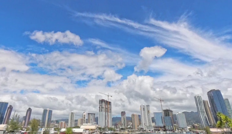
O'ahu's weather pattern is taking a breezy turn with southeast winds expected to maintain their presence through Tuesday night, eventually giving way to Hawai'i's familiar trade winds. According to Honolulu's National Weather Service forecast, rain showers will likely stick around, favoring windward and mauka areas until Thursday. Anyone longing for the sun can look forward to a forecasted drier weekend as the trades make a comeback.
As weekend plans begin to crystalize, clouds seem reluctant to bow out. Early morning satellite imagery has revealed a mix of partly to mostly cloudy skies. An approaching cold front seems to be the party guest that never quite arrives, stalling before it can greet the western islands and then retreating starting Sunday. "A weakening trough will slide north of the area today into tonight," the forecast explains, indicating a decrease in shower activity as the influence wanes. While southeast winds are predicted to linger only until early Wednesday, they are partially responsible for a unique seabreeze effect developing on the Big Island's lee side.
The replacement of these southeast winds with trades, prompted by a nearby surface high pressure system, will restore the expected weather pattern for many residents. "Trades are then expected to continue through at least next weekend," the forecast details, signaling a shift in shower focus back to the standard windward areas once the transition occurs. With conditions favorable for increased showers over the western islands through Tuesday, early signs also point to Friday welcoming a period of drier conditions alongside persistent trade winds.
For flyers, the forecast is predominantly clear, with southeast winds persisting in most areas and a seabreeze picking up in PHKO during the afternoon hours. Aviation advisories appear to be grounded for now, as "VFR except for brief MVFR in heavier showers" is expected throughout today and into the evening. Mariners, take note that the cold front's approach will mean southeasterly winds but without the need for Small Craft Advisory warnings thanks to its decision to halt west of Kauai. "Surface high pressure building back north of the region will bring a return to moderate to locally fresh easterly trades by mid-next week," which should be music to the ears of those navigating Hawai'i's waters.
Surfers looking to end the year on a high note might need a bit of patience. The North Shore's swell is on a downward trend, but hope springs with a fresh northwest swell expected to arrive by Sunday. This swell promises to bring potentially advisory-level surf conditions through Wednesday. East-facing shores, however, will have to wait until next week for their dose of rough and choppy waves, thanks to an absence of trade winds over the weekend. Meanwhile, south facing shores are forecasted to hold steady with small surf offerings.
As per usual, Hawai'i's dynamic weather dance continues, with residents and visitors alike poised to adapt to the rhythmic shifts in winds and waves. For those needing a more granular weather breakdown, the National Weather Service Honolulu's page remains the go-to source for timely updates and advisories.


