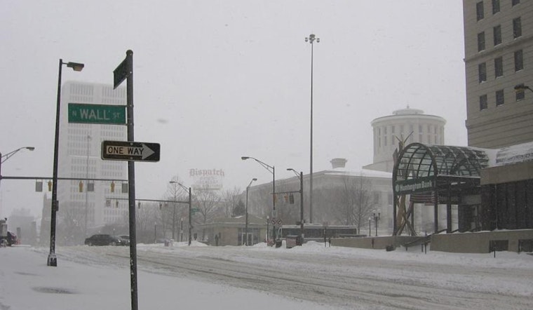
Residents in Ohio are gearing up for a series of winter systems expected to roll through the region beginning tonight, continuing into the coming weekend. According to the latest report from the National Weather Service in Wilmington, OH, light snow showers could dust areas north of Interstate 70 this morning, with the forecast swiftly changing to rain tonight and a mix of snow and blustery wind on Wednesday. Temperatures are set to rise into the mid to lower 40s today, owing to southerly winds that could see gusts reaching 25 to 30 mph.
As the cold front intensifies on Wednesday, folks should be ready to increasingly find slick spots on roads as air and pavement temperatures drop. The NWS warns of potential hazardous travel conditions, advising, "There is a concern that as the cold air rushes into the region, air and pavement temperatures will start to drop." This could create slick conditions, especially going into Wednesday evening and continuing into Wednesday night, as lake enhancement continues, with snow showers across the region. Wind gusts are forecasted to escalate, ranging from 35 to 45 mph, bringing down visibility and raising the stakes for commuters and pedestrians alike.
The NWS has its eye on Thursday and Friday for another system, which could bring more snow our way, especially toward the Ohio Valley between northern Kentucky and southern Ohio. There's no crystal ball here, but forecasters are gravitating toward the possibility of significant snowfall, particularly along the I-70 corridor — and then, come Saturday, yet another system could sweep in with further accumulations. "Several models showing an initial wave that will impact our CWA late Thursday into Friday," the NWS highlights, pointing to the European model's consistency and the Global Forecast System's (GFS) agreement.
Alongside the snow, an Arctic front is anticipated to plunge temperatures into even more frigid territory over the weekend. With wind chills expected to hover in the lower single digits or dive below zero, particularly in northern regions, residents might need to brace for some of the most bitter cold to hit the area thus far this season. The forecast indicates, "By Saturday night, wind chill values will be in the lower single digits and perhaps even sub-zero in our north," as reported by NWS, putting an exclamation point on a week that is sure to test the mettle of Ohioans' winter preparedness.
For travelers and aviators alike, the weather could impact visibility and conditions for flights. The NWS's aviation outlook foresees "MVFR to IFR conditions possible Wednesday through Saturday" with those gusty winds potentially exceeding 35 knots on Wednesday. As the systems move in, so too does the advice to stay informed and prepared for rapid changes in weather and to approach all travel with increased caution during this active winter period.


