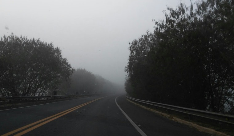
Raleigh residents can expect a variation in climate patterns beginning with patchy dense fog today and freezing fog early Sunday. According to the latest update from National Weather Service, the temperature on Saturday morning was shrouded by fog and mist, with visibility limited to just one mile.
The forecast for today includes cloudy skies post fog with calm winds turning westerly, and a high temperature near 47 degrees Fahrenheit. Come nightfall, areas of fog are expected to reemerge after 4 am, creating a low around 29 degrees, and a clearing late in the evening. The Sunday morning schedule might need some adjustments as the areas of fog and freezing fog are anticipated to linger until 8 am, after which the day garners mostly sunny conditions and a high of 53 degrees.
Looking ahead to the start of the workweek, Raleigh will see a mix of rain and snow possibilities on Monday morning, transitioning to potential rain or snow in the afternoon hours. The suggested chance of precipitation stands at 40 percent, with little to no snow accumulation forecasted. The subsequent night invites partly cloudy skies and a plunge to lows around 22 degrees.
Tuesday's reprieve from the uncertainty comes with sunny skies and highs once again reaching the 40s. Midweek expectations continue the trend with mostly sunny conditions and temperatures warming to the mid-50s. Thursday, however, turns back to a chance of rain and cloud-cover through Friday. "Patchy dense fog is possible tonight through early Sunday morning," the Hazardous Weather Outlook warns.


