Charlotte residents are in for a stretch of clear and calm weather leading into the weekend, but don't enjoy the sunny days without preparation, as a significant shift awaits. According to the National Weather Service in Charlotte, N.C., today's conditions boast a high near 46 degrees with a calm wind transitioning to a west northwest breeze around 5 mph in the afternoon.
Tonight's forecast predicts a clear sky, offering an unobstructed view of the winter stars as temperatures dip to a low around 21 degrees, while Wednesday will see increasing clouds but hold temperatures near 48 degrees, the calm wind shifting to south with a slightly stronger influence of 5 to 8 mph, the overnight lean into clouds bespeaks the storm on the horizon, yet it's the calm before the proverbial storm. NWS forecasts imply an impending and dramatic switch.
By Thursday, residents should anticipate a 20 percent chance of rain after 9 am with partly sunny skies and a high near 57 degrees; yet, these relatively mild conditions are merely fleeting. The risk of rain increases as the week progresses, climbing to 30 percent Thursday night, then to 40 percent Friday with a predominate cloudy motif maintaining a grip on the sky.
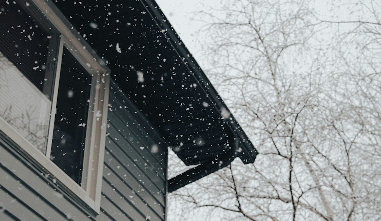
The true crux of meteorological concern arrives this weekend when a low pressure system moves near the area, bringing a sharp temperature drop and setting the stage for wintry precipitation. Saturday's weather takes a turn for the colder with snow and freezing rain likely, and the chance of precipitation rising to a critical 70 percent by late afternoon, according to the National Weather Service, the outline of this event reflects the unpredictability of winter's caprice, an ever-shifting tableau where preparedness is one's only shield against nature's sudden pivots.
The hazardous weather outlook issued by the National Weather Service out of Greenville-Spartanburg, SC, underlines the potential for significant wintry weather, advising residents of Piedmont North Carolina, western North Carolina, and Upstate South Carolina to stay alert to the latest forecasts as "details remain uncertain, but there is the potential for significant wintry weather." Sunday follows suit with more snow and freezing rain as the likelihood of precipitation hovers at a notable 60 percent.
To face what may come, no alertness should be spared; for such is the character of winter in the Southeast, where serenity often portends the tumult to follow, a reminder that in the face of nature's vast canvas, we are but witnesses, participants in a larger cycle that turns with little regard for our plans and comfort. The community is advised to take heed from the NWS updates, stay warm, and prepare for harsher conditions.


