Residents across Tampa Bay awoke to a brisk Martin Luther King Day, with the National Weather Service forecasting sunny skies but with wind chill values dipping as low as 34 degrees early in the day. Northerly winds at 7 to 9 mph will persist, bringing Tampa a high near a cool 60 degrees.
Tonight's not bringing much reprieve from the cold as clear skies pave the way for low temperatures around 40 degrees, with the north-northeast wind hanging around at 7 mph. Looking ahead to Tuesday, the sun will continue its command over the sky, nudging temperatures to a more comfortable high near 66 degrees, but those early risers will grapple with wind chill values staying stubbornly in the mid-30s.
Moving through the week, Tampa Bay residents can expect a steady climb in daytime temperatures with Wednesday promising mostly sunny conditions and a high near 76 degrees. The region will experience similar weather come Thursday with a slight chance of showers in the afternoon as clouds gather.
The flirtation with rainfall will be brief, according to meteorologists, as Friday sets the stage for mostly sunny skies once more and a high climbing up to 77 degrees. Over the weekend, Tampa will continue to bask in the warmth with Saturday highs nearing the 80-degree mark under mostly sunny skies, though the respite from the cold may be marked by a slight chance of showers by Sunday.
In the meantime, the National Weather Service has kept in place a Cold Weather Advisory for portions of southwest and west central Florida through to 9 AM EST Monday. "Very cold wind chills as low as 27 expected," the advisory warns, an impactful chill that could lead vulnerable populations to hypothermia if exposure is prolonged. Residents are advised to dress warmly, with a hat and gloves, during this period.
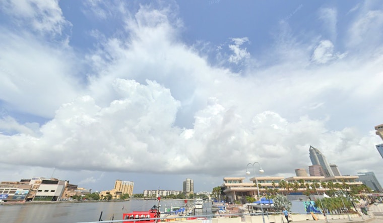
In addition to the chill, waterfront communities should take heed of the High Rip Current Risk that remains in effect from this morning through to Monday morning. Though the High Surf Advisory has been cancelled, those braving the shorelines of Pinellas, Coastal Hillsborough, Coastal Manatee, Coastal Sarasota, Coastal Charlotte, and Coastal Lee counties ought to exercise extreme caution. "Rip currents can sweep even the best swimmers away from shore into deeper water," the safety message from the National Weather Service cautions. Swimmers are urged to stay near lifeguards and know the steps to take if caught in a rip current: relax, float, and calmly signal for assistance if necessary.


