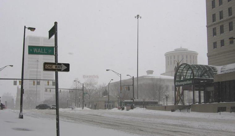
Brace yourselves, Columbus and Cincinnati residents, as the National Weather Service in Wilmington has updated its forecast to bring us the chilly details of what's coming our way. In an early morning announcement, they've put out a winter weather advisory for the region, signaling the imminent descent of a frigid air mass that's bringing more than just a shiver down the spine.
The advisory, which remains in effect until 11 AM EST, warns of "light wintery precipitation and gusty winds expected today," with a slight bump up in precipitation chances and increased confidence in accumulating snowfall predicted for Saturday through Sunday. It seems that, along with the advisory, there's higher confidence in "very cold temperatures this weekend into the upcoming workweek," as per NWS, signaling a time when the warmth of your favorite coffee shop or blanket can't be taken for granted.
Weather patterns have already begun to shift, with a low-level jet sparking a band of precipitation across the lower Ohio Valley this morning. As the surface temperatures are very cold, the initial periods of freezing rain are expected to lead to slick conditions - commuters beware. "Although pcpn will be light - the combination of very cold surface temperatures and a period of freezing rain (especially at the onset) will lead to slick conditions," the National Weather Service explained.
For those of us looking ahead, Friday promises a plunge into even colder depths. A “strong (1050) Canadian high will sink down into CONUS bringing a potent polar airmass to our region.” According to the NWS report, these are not just icy words on a page, but a forecast of single-digit to teen temperatures pressing in for “several days straight.” The real chill hits Friday night into Saturday, where wind chills could dip into the negative range, so bundle up tight.
But it's not just the frosty air that's looming. Eyes are on a robust weather system moving across the southern US with the potential to spill its wintry mix into our neighborhood from Saturday into Sunday. The National Weather Service cautions that it's still too early for precise snowfall predictions, noting that there's "HIGH uncertainty and unpredictability" in the forecasts. It’s a heads-up to stay tuned as the weather story develops, and perhaps a subtle nod to prepare for some shoveling and salting on the horizon.
The aviation sector isn't immune to the weather's caprice, with "snow and IFR conditions likely Saturday night and Sunday," as reported by NWS. If your weekend plans involve looking up at the sky for incoming flights instead of incoming snowflakes, expect disruptions, especially "along and south of I-71." Between wintry advisories and snowflakes on the horizon, it appears we're in for quite the atmospheric encore this weekend.


