The National Weather Service in Milwaukee/Sullivan has issued an Extreme Cold Watch from late Thursday night through Saturday morning for several counties, including Marquette, Green Lake, Fond du Lac, and Sheboygan. Wind chills could reach as low as 40 below zero, creating a risk of frostbite on exposed skin within about 10 minutes, according to National Weather Service.
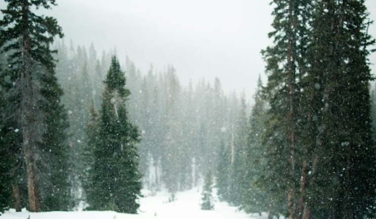
Today’s forecast calls for mostly cloudy skies with a chance of snow showers after 4 p.m. and west winds up to 25 mph, as per the National Weather Service. Snow accumulation is expected to remain under one inch, but a cold front later this afternoon and evening may bring brief, heavy snow showers that could reduce visibility and affect the evening commute. Blowing snow may further contribute to hazardous conditions.
Temperatures are expected to drop sharply Thursday night, with lows near minus 12 degrees Fahrenheit and even colder wind chills. By Friday, temperatures are forecast to remain well below freezing, with daytime highs around minus 4 degrees. The National Weather Service advises residents to limit outdoor exposure and wear layered clothing, including hats, face coverings, and gloves, if going outside is necessary.


