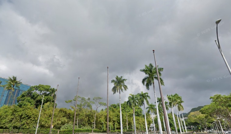
Honolulu residents can expect a touch of weather whiplash as light showers and breeze-driven conditions give way to a more assertive cold front moving in early next week, the National Weather Service Honolulu forecasts. According to the National Weather Service Honolulu's latest update, the coming days will oscillate between tranquility and moderate downpours, although the imminent fronts are unlikely to stir any flood threats at present.
The weather will stay mostly calm at first, with just a few light showers. A cold front moving in Sunday night into Monday will bring more showers, followed by drier, cooler winds. Showers on the Big Island are already moving offshore. The rain break won’t last long, as colder air will move in, dropping Tuesday morning temperatures about 5 degrees below normal, with even colder readings in some sheltered valleys.
Aviation interests should brace for temporary deterioration in flying conditions over the Garden Isle starting later today, as a weak frontal boundary dilly-dallies around Kauai potentially summoning mountain obscuration and MVFR conditions. "Expect increasing shower trends for airfields on the Garden Isle later this morning with brief periods of MVFR conditions in showers lasting into Saturday," National Weather Service Honolulu cautions, with reminders that AIRMET Sierra warnings for mountain obscuration are already in place but likely to lessen as the day progresses.
Boaters in the central Pacific can expect changing winds, mostly from the southeast to south. East to southeast winds will be common until late Sunday, when winds turn southerly again. For surfers, a large north swell will arrive Saturday into Sunday, with an even bigger northwest swell possible by Monday. Conditions may change quickly, so mariners should stay alert.
Currently, there are no active watches, warnings, or advisories in effect, but the National Weather Service Honolulu urges Hawaiians to remain vigilant, particularly along north and west facing shores where surf could approach High Surf Warning levels. East shore surf is projected to dwindle through the weekend but may see a rebound with next week's anticipated changes.


