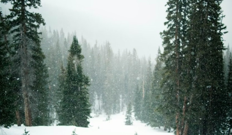
Residents in Milwaukee and parts of east central, south central, and southeast Wisconsin are expected to experience very cold conditions through the end of the week. According to the National Weather Service two periods of lake-effect snow, with one expected Friday morning and another on Saturday morning. A Hazardous Weather Outlook has been issued for several Wisconsin counties due to forecast wind chills in the negative teens tonight and Friday night. Snow amounts and exact locations remain uncertain, though southeastern Wisconsin has the highest likelihood of accumulation.
As per the National Weather Service, today’s forecast calls for sunny conditions with a high near 14°F. Wind chills are expected to range between -10°F and 0°F. Tonight will bring increasing cloud cover, with temperatures dropping to around 5°F and continued low wind chills.
On Friday, conditions are expected to be partly sunny with a 50% chance of snow, decreasing to a 20% chance Friday evening. Temperatures are forecast to remain cold through the weekend, with highs generally in the mid-20s. Sunday is expected to be sunny with a high near 26°F, followed by additional chances for snow Sunday night and into the early part of next week.


