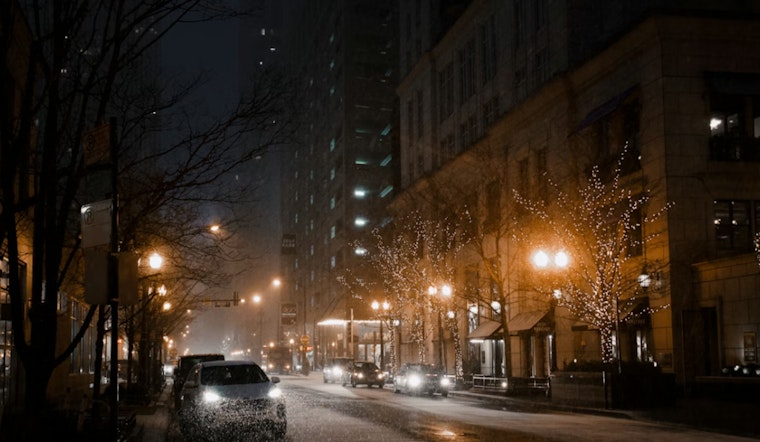
The National Weather Service reports that the Northeast is experiencing cold conditions at the start of the weekend, with a winter weather advisory in effect for several areas. In Manhattan, snow is expected before 1 p.m., followed by a mix of rain and snow from 1 p.m. to 4 p.m., with a high near 39 degrees. Daytime snow accumulation is forecasted to be around half an inch.
Brooklyn is expected to see a mix of rain and snow, primarily before 4 p.m., with temperatures around 40 degrees and minor snow accumulation. In Queens, cloudy conditions are forecasted, with a high near 40 degrees and little to no snow accumulation.
In the Bronx, less than half an inch of snow is expected before rain begins in the afternoon, with temperatures near 39 degrees. Staten Island is forecast to have similar conditions, with snow likely early in the day before changing to a mix of rain and snow, and temperatures around the same level.
After today’s snowfall, New York City will have mostly clear and cool weather for the coming week. Martin Luther King Jr. Day is forecast to be mostly sunny with a high near 35 degrees, followed by a colder Tuesday with highs around 24 degrees. Staten Island, Queens, and the Bronx will see mostly sunny conditions with little or no precipitation throughout the week, along with clear and cold nights. Overnight lows are forecast to reach the mid to upper teens, and daytime highs are expected to range from the mid-30s to around 40 degrees.
The Hazardous Weather Outlook indicates that the advisory remains in effect through the day and will end by the afternoon. The following week is not forecast to include any weather conditions requiring warnings. Coastal areas covered by the outlook will have several days without hazardous conditions.


