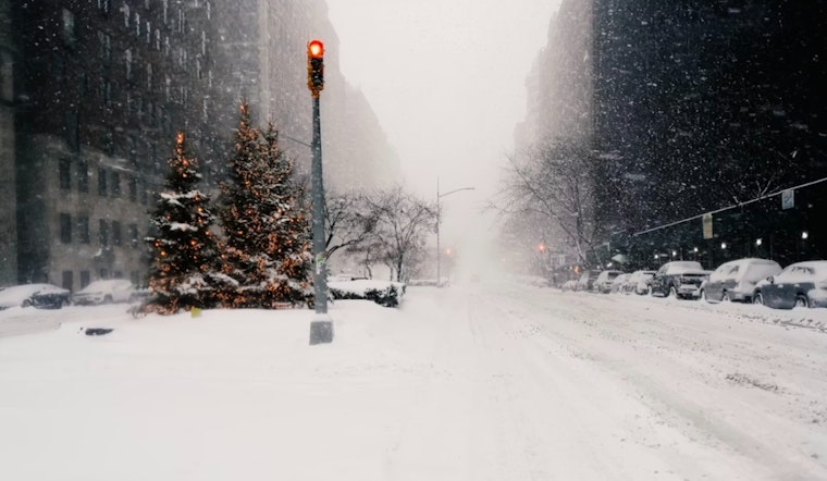
The National Weather Service has issued warnings for New York City, indicating an increasing likelihood of a winter storm. Residents across all five boroughs are expected to experience substantial snowfall from Sunday through Monday, with significant accumulation possible by the end of the weekend.
The Hazardous Weather Outlook indicates that no hazardous weather is expected today or tonight. However, a winter storm is forecast to impact the city from Sunday through Monday, with significant snowfall possible. Currently, streets across the boroughs are clear, but snow accumulation is expected in the coming days.
Manhattan will have mostly sunny conditions today, with a high around 44 degrees. Temperatures will drop on Saturday, with a high near 19 degrees under mostly sunny but cold conditions, ahead of the anticipated snowfall. In Brooklyn, a similar pattern will occur, with temperatures falling Saturday night and snow likely after 1 a.m., as detailed in local forecasts leading up to Sunday’s snow.
Queens and The Bronx are also expected to experience cold weekend temperatures, with forecasts indicating mostly sunny conditions on Saturday and snow likely after 1 a.m. Saturday night. Staten Island is forecast to have partly sunny and cold conditions on Saturday, followed by snow on Sunday morning.
The city is currently experiencing clear and sunny conditions, but winter weather is forecast to arrive in the coming days. For now, conditions remain calm, with snow expected to begin Sunday.


