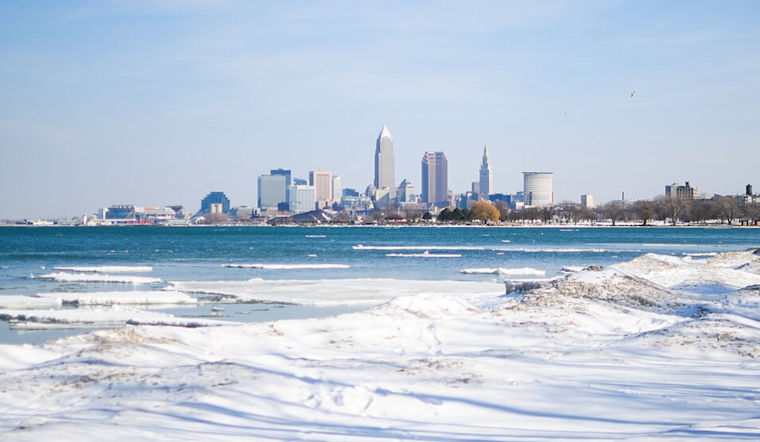
As the chill of winter clutches tightly on Northeast Ohio and Northwest Pennsylvania, residents are bracing for a hefty dose of lake effect snow and an Arctic chill that is forecasted to sweep over the Great Lakes region. According to the National Weather Service (NWS) in Cleveland, there have been no changes to the current Lake Effect Snow Warnings and Advisories. Heavy snowfall is expected to continue today, particularly within the Snowbelt region, and is projected to cause significant travel disruptions and hazardous road conditions.
The NWS report highlights no significant updates for the weekend into next week's outlook, with an Arctic airmass set over the specified area. This inclement weather is sure to affect day-to-day life with "multiple nights with temperatures in the single digits to near zero degrees." Conditions are anticipated to turn even more perilous with wind chill values predicted to drop below zero for several days continuously. Residents should be prepared to bundle up and take appropriate precautions to stay warm during this frigid time.
Travelers in the region affected by the ongoing snow squalls have already encountered varying and treacherous road conditions this morning. The lake effect snow, spurred by a "large and deep upper trough" over the eastern U.S., is largely centered on the Snowbelt areas. Drivers are warned of "varying weather and road conditions" in these areas, with snowfall likely to accumulate heavily throughout the day, especially in areas with higher elevations. The NWS advises checking the latest weather graphic updates on their website for specific details related to additional snowfall and its impact on travel.
Adding to the layers of complications, the forecast indicates several weather systems rolling in this weekend into next week, positioned to only deepen the winter chill. It is critical for people to "stay tuned and weather aware," as there is potential for additional lake effect snow to develop, possibly lasting multiple days into early next week. This forthcoming cold snap follows closely on the heels of a "very cold weather pattern," as per NWS, with forecast models showing a trend towards even more bitter cold, including highs potentially not reaching out of the single digits.
For mariners on Lake Erie, these conditions spell an extended period of rough sailing. The current Small Craft Advisory has been extended, according to the NWS, due to persistent winds of 20-25 knots expected across the central and eastern basins. Additionally, the intense cold and strong winds have triggered a Freezing Spray Warning, raising the risk for ice accumulation on vessels. Mariners navigating these unforgiving waters are urged to exercise caution as these hazardous conditions are forecasted to continue well into next week.


.jpg)