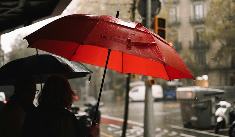
The National Weather Service in Seattle has issued a forecast that calls for a series of rainy days ahead, with the first showers expected to begin this afternoon. Temperatures are estimated to stay in the mid-to-high 40s, with today's high reaching around 49 degrees. According to the detailed forecast, there's a strong 90% chance of precipitation today with new rainfall amounts registering less than a tenth of an inch.
Tonight's weather is also set to be wet, with a 100% chance of rain. The overnight low will hover around 46 degrees, and the south southeast winds are expected to persist at 8 mph, gusting to around 20 mph. Rainfall is anticipated to increase, with new precipitation amounts falling between a quarter and half of an inch. The pattern of rainfall is predicted to continue on Thursday and Friday, with total new precipitation amounts stacking up to multiple quarters of an inch.
Looking into the weekend, the likelihood of rain decreases slightly but does not fully abate. Saturday offers a slight respite with only a 20% chance of rain before 10 a.m. and a high near 56 degrees. However, rain picks up again by Sunday afternoon, with increased probability leading into early next week. The consistent cloud cover and rains seem to be indicating a typical pattern for Seattle's winter season.
The upcoming week seems to be varying little, as the forecast calls for mostly cloudy skies and chances of rain most days. High temperatures are expected to hover reliably in the low-to-mid 50s through Tuesday, providing a consistent, albeit damp, weather scenario for the region. Residents may want to keep their umbrellas closely at hand and prepare to navigate the wet conditions, particularly on Thursday night when rain is predicted unquestionably with a low around 47 degrees and southeast winds around 6 mph.


