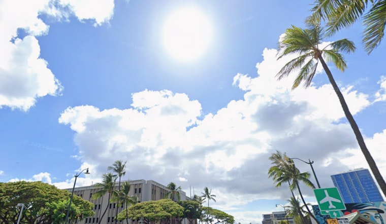
As Honolulu residents enjoy the comfortable humidity and sparse rainfall this holiday weekend, the National Weather Service (NWS) predicts a shift in weather conditions come next week. According to the NWS Honolulu Weather Forecast, high pressure moving northeast of the islands today will lead to a period of dry trade winds, followed by an incoming cold front expected to bring wetter weather around mid-next week.
For now, the forecast talks about a high-pressure system to our northwest, which has been turning northerlies into dry trades. But soon, it's predicted to pass north of the islands and "causing local background winds to turn southeasterly," potentially leading to a slight increase in mainly windward and mauka showers. However, these showers are expected to be "isolated and confined to windward and mauka locations," keeping the skies generally clear for most areas, as reported by the NWS.
In aviation, it's reported that moderate trades will continue through tomorrow before veering southeasterly, with minimal impacts anticipated for visibility, maintaining VFR conditions. "AIRMET Tango remains in effect for low level turb downwind of terrain," announces the NWS forecast, signaling turbulence for aircraft passing downwind of the islands' vast mountains.
Regarding the marine outlook, there is a fading extra large northwest swell, which the NWS describes as producing "high seas above advisory levels." Although surf has declined below advisory levels for west facing shores, the forecast reminds us that "a Small Craft Advisory (SCA) has been extended for all Hawaiian waters through 6 PM HST this evening." This is credited to the combined seas above 10 feet and winds up to 25 kt, indicating that conditions may still be rough for mariners in typically windy areas around Maui County and the Big Island.
Lastly, beachgoers should note the "High Surf Advisory until 6 PM HST this evening for Niihau, Oahu North Shore, Maui Windward West, Kauai North, Molokai Windward, Molokai North, Molokai West, Maui Central Valley North, Windward Haleakala," as stated by the NWS. Although no noteworthy swells are projected for south facing shores over the next few days, rough, choppy surf will persist on east facing shores due to the lingering northwesterly swell.


