Cincinnati woke up to a gray, chilly start Monday morning, February 23, with temperatures stuck in the mid-20s and isolated snow showers sliding through during the commute. Bursts of blowing snow are expected to ride in on northwest winds, briefly cutting visibility on bridges and open stretches and leaving slick spots on untreated side streets. If you have to drive, build in extra time and keep your headlights on whenever you hit a heavier band.
Morning Commute: Slick Spots and Blowing Snow
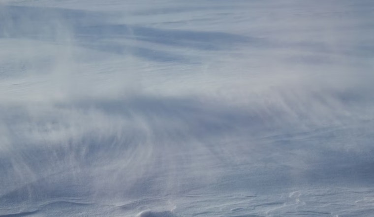
Isolated snow showers are likely before 9 a.m. Monday, February 23, followed by areas of blowing snow roughly between 10 a.m. and noon, with highs only near 35°F. Northwest winds are forecast around 12 to 15 mph with gusts up to about 25 to 30 mph, and new snow accumulation should stay light at generally under a half inch, though drifting can make certain stretches look and feel worse. According to the National Weather Service Wilmington, drivers should be ready for rapid visibility changes and sudden slick spots this morning.
City Response and Travel Tips
The city’s winter operations are in gear, with crews focusing first on main arteries and bridges while residential streets may wait a bit as plows work through their routes. Residents can follow progress on the CincyInsights snow-plow tracker and are asked to give trucks plenty of space and use off-street parking where they can, per the City of Cincinnati Public Services. Transit riders should check service alerts before heading out, with possible delays on secondary routes this afternoon as crews keep attention on priority corridors.
Rest of the Week: Quick Warm-Up then Mixed Precipitation
Temperatures climb into the 40s on Tuesday and could reach the low 50s by Wednesday before a stronger system moves in late Wednesday into Thursday, bringing a chance of rain and snow, especially in areas north of I-70. That midweek system still comes with plenty of uncertainty in both track and precipitation type; forecasters note heavier precipitation is possible Thursday in lower elevations, while colder spots north of I-70 could see more snow. Keep checking local forecasts over the next 48 hours, since timing and precipitation type may shift quickly.
Bottom line: accumulations today should be light, but gusty northwest winds and blowing snow can briefly turn roads hazardous, particularly on bridges and exposed stretches, so slow down and give plow crews room to work. Updates will follow if advisories change; check the National Weather Service and City of Cincinnati Public Services for live alerts before you head out.


