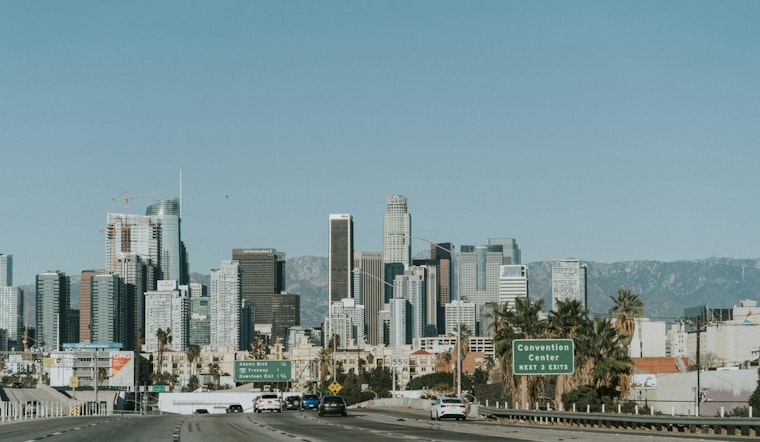
Downtown Los Angeles rolled into Monday under mostly sunny, mild skies, waking up to mid-50s temperatures and a sharp warm-up on deck. Highs are expected to soar to around 80°F this afternoon, a hard pivot from the recent early-week frost and showers to clear, spring-like conditions. The warm stretch is set to stick around through much of the week, especially inland, so expect cool mornings that flip to much warmer afternoons. If you have outdoor plans, think light jacket for the early hours and sunscreen once the sun gets going.
Afternoon Temperatures And Timeline
According to the National Weather Service Los Angeles/Oxnard, Monday (February 23) is expected to top out near 80°F, Tuesday (February 24) should land around 79°F, and readings climb into the low 80s by Thursday and Friday. The warmest spots will be away from the immediate coast, with valley neighborhoods and some interior coastal pockets running the most above normal. Overnight lows should hang in the mid-50s, so the biggest swings will be between the cool pre-dawn hours and those sunny, toasty afternoons. Forecasters point to a persistent ridge that is keeping the region dry and warmer than usual this week.
Morning Fog And Nights
Nights will be mostly clear to partly cloudy, with patchy fog possible before about 10 a.m. on some days, particularly inland later in the week. Lows near 55–59°F most nights mean cooler early-morning commutes will stick around even as afternoons heat up. The marine layer should stay mostly suppressed while the high pressure holds, but coastal areas will stay noticeably cooler and breezier. Be ready for quick temperature jumps between the morning chill and mid-afternoon warmth.
Boaters And Wind Outlook
Boaters should note small craft concerns near the central coast into the morning, and an offshore push could kick up canyon gusts at times, although winds are expected to remain below advisory levels on land. This sudden flip to dry, warm afternoons follows the recent frost and stormy days previously covered by Hoodline; see our earlier coverage Downtown L.A. Toasts in Mid‑70s for the shift that began over the weekend. If you have plans on the water, check the latest marine forecast before you head out.
Practical Tips
Plan on dressing in layers: something light but warm for the chilly morning commute, then switch to sunscreen and plenty of water for afternoon errands and outdoor lunches. Drivers should watch for brief drops in visibility where low clouds or fog move in before burning off, and canyon routes may see higher gusts during the afternoon. Anyone boating or spending time near the coast should double-check advisory status before leaving home. We will update if any advisories are issued or if the forecast pattern shifts during the week.


