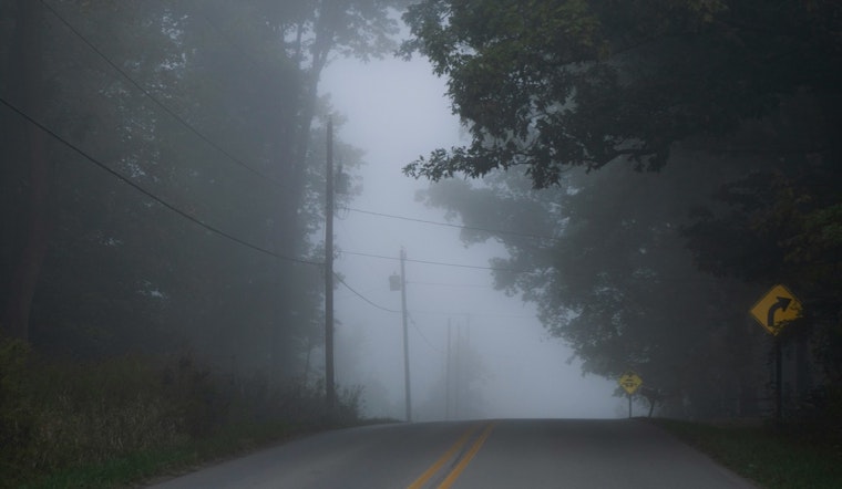
Sacramento is waking up to a clear, mild Friday, with temperatures sitting around 54°F at Sacramento Executive Airport and barely a breeze in the air. The calm start will not last long. Patchy fog is expected to creep in during the early commute, then the region will warm quickly into the mid 70s this afternoon, all ahead of a weekend system that could throw scattered showers and isolated thunderstorms at the valley, foothills and nearby mountains.
According to the National Weather Service, the patchy fog is most likely between about 8 a.m. and 10 a.m. Friday. After that, skies should turn partly sunny with a high near 75°F and light north-northwest winds around 5 mph. Drivers can expect brief visibility drops on low-lying streets, bridges and river corridors during that morning window.
Weekend Thunder Chances
Forecasters say an upper-level low will slide into the region this weekend and crank up shower and thunder chances, mainly over the northern and central valley, the foothills and the mountains. The National Weather Service discussion points to roughly a 15–30% chance of thunderstorms in those areas, with the highest odds between about 12 p.m. and 8 p.m. Heavy rain rates and gusty winds are the main concerns with any storms that do develop, especially over higher terrain.
Commute And Outdoor Plans
For Friday morning, drivers are urged to leave extra time during the fog window and stick to low beams if visibility takes a hit. Looking ahead to the weekend, anyone planning a foothills hike or a mountain getaway should pack rain gear and keep a close eye on timing. Afternoon and early evening storms could bring brief downpours and gusty winds that put a quick stop to outdoor plans.
Looking Ahead
Temperatures are expected to hold above seasonal averages through early next week, with valley highs generally in the 60s and 70s and thunder chances tapering off by Monday. Travelers heading into the hills or the Sierra should keep checking updates from the National Weather Service as the pattern evolves.


