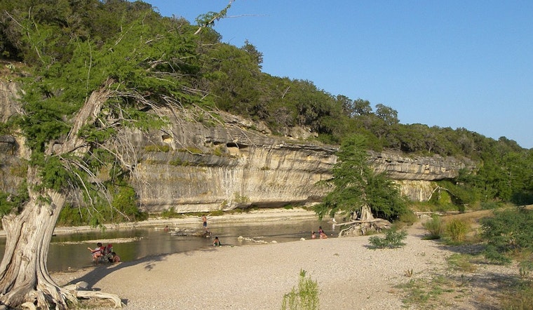
More than 500 oil-storage tanks now crowd the Guadalupe River floodplain where the Eagle Ford Shale slips into the coastal plains, and locals warn that a 1998-level deluge could shove oil and toxic wastewater all the way to San Antonio Bay. Ranchers in Gonzales and DeWitt counties say the sight of towering tank batteries looming over slow, wide creeks looks uncomfortably close to the old high-water line. New mapping work, paired with local testimony, is reviving long-simmering questions about county flood rules, unanchored tank batteries, and who gets stuck with the cleanup bill if a big flood hits.
Mapped risk: hundreds of tanks in FEMA flood zones
An investigation republished by The Texas Tribune finds that more than 500 oil-storage tanks sit inside the Guadalupe floodplain and identifies 78 tank batteries in Gonzales and DeWitt counties. Residents and reporters say many of those batteries are built on low ground where a major river event could submerge storage tanks, pits and other oilfield infrastructure.
How the exposure was measured
Researchers for Inside Climate News cross-referenced Google Maps satellite imagery with FEMA flood-elevation layers to estimate inundation depths at tank batteries, and they have posted the analysis and code publicly. That work indicates a 500-year flood would put at least 22 tank batteries, holding 144 individual oil and wastewater tanks, under 10 feet or more of water in some locations, and roughly a dozen tanks could sit beneath about 20 feet in the most extreme modeled spots, according to Inside Climate News.
1998 stands as a warning
The basin’s October 1998 flood exceeded planners’ worst-case projections in parts of the lower Guadalupe and left miles of lowland underwater, according to the Guadalupe‑Blanco River Authority. U.S. Geological Survey records and local documentation describe a fast-moving wall of water that spread across the coastal plain and damaged towns and infrastructure downstream. Landowners say that history, combined with newer oil development and buried waste pits, explains why the current mix of tanks and creeks looks less like routine industry and more like a gamble.
Why the odds are getting higher
Climate assessments show heavy-precipitation episodes in Texas are getting more intense. The Office of the Texas State Climatologist at Texas A&M University projects roughly a 10 percent rise in expected extreme rainfall intensity by 2036 compared with 2001 to 2020, with an even larger increase compared with mid-century baselines. That shift in rainfall intensity raises the odds of extreme precipitation events and, in small, fast-responding tributaries like those feeding the Guadalupe, increases the chance of damaging floods that could test oil infrastructure now parked on low ground. The assessment links changes in rainfall intensity directly to higher odds of urban and flash flooding.
Industry setup and infrastructure vulnerabilities
Tank batteries are often held in place only by the weight of the oil and wastewater inside, which leaves them vulnerable to floating or toppling in deep water. Inside Climate News also identified roughly eight oil pipelines and about two dozen gas pipelines that cross the Guadalupe in the Eagle Ford footprint, adding more things that can fail if a major flood tears through. Portions of the tank battery footprint were previously operated by Baytex Energy, which announced in November 2025 that it had sold its Eagle Ford assets for US$2.305 billion, about $3.25 billion, according to a Baytex Energy statement.
Voices on the ground and in the agencies
“Those are not issues that most counties, on an individual basis, are well suited to handle,” Todd Votteler, a former executive at the Guadalupe‑Blanco River Authority, told The Texas Tribune. Landowners say they raised flood concerns during the shale boom and now worry that cleanup costs and long-term ecological damage would fall on small communities and fragile bay habitats if a big flood upends tanks or exposes buried waste.
County permitting decisions, industry siting choices and the lack of a coordinated statewide floodplain policy have left stretches of the lower Guadalupe ringed with oil infrastructure that many residents bluntly call “a disaster waiting to happen.” Whether regulators or operators will move toward higher setbacks, anchored storage, tighter mapping or targeted buyouts remains an open question, but the new analysis gives communities and policymakers a sharper view of what is at stake if they choose to sit tight.


