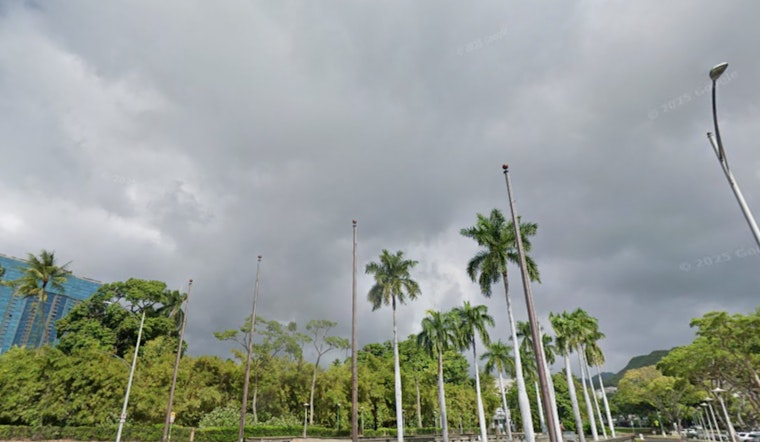
Honolulu is waking up clear and mild this morning at about 67°F, but the coastline is on watch. A Coastal Flood Statement is in effect through Monday morning as peak monthly high tides line up with higher-than-predicted water levels. A cold front sliding down the island chain is shifting winds to the southwest, which will bring breezier conditions into Monday and bump up the odds of isolated showers. Early-morning beachgoers can expect the risk of overwash on walkways and minor beach erosion around peak tides, as reported by the National Weather Service.
Today Through Monday
Sunday stays mostly sunny with a high near 83°F, with some haze and spotty showers possible Sunday night as temperatures drop into the low 70s. Winds pick up Sunday night into Monday, with highs near 82°F Monday and southwest winds around 15 to 23 mph, gusting up to about 32 mph and stronger along mountain slopes. A more widespread round of rain moves in Monday night, with an 80% chance of showers and localized amounts between a quarter and a half inch possible, according to the latest forecast discussion from the National Weather Service Honolulu.
Coastal Flooding And Surf
The Coastal Flood Statement calls for isolated minor coastal flooding at peak tides through Monday morning, with saltwater inundation and some beach erosion possible on normally dry beaches. The most likely trouble window is around the daily high tides between midnight and sunrise. Drivers are urged to avoid flooded roadways, and residents in low-lying areas are advised to move vehicles and valuables to higher ground. The full message is available from the National Weather Service.
Marine And Surf Outlook
High Surf Advisories have eased for now, but forecasters expect another large northwest swell to build Monday night and peak Tuesday to Wednesday, with surf likely to reach or exceed High Surf Warning levels on many north and west shores. Boat operators should be ready for Small Craft Advisory conditions to return and are urged to secure vessels. Strong shorebreaks and powerful currents will make swimming hazardous. The incoming swell and wind pattern could produce extra-large surf and gusty conditions through midweek, according to National Weather Service Honolulu.
Bottom line: move cars and electronics away from low-lying shorelines, skip driving through salty floodwater, and follow lifeguard or county closure notices. Check NWS Honolulu and local emergency channels for updates before heading to the beach or launching boats.


