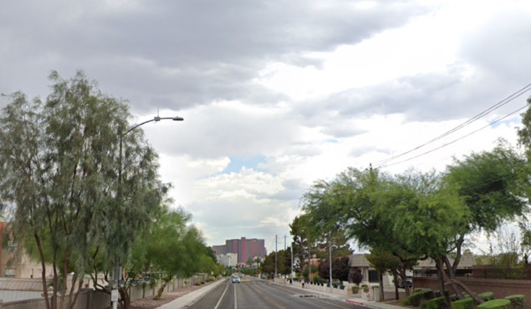
Houston woke up warm and gray on Thursday, February 26, 2026, with temperatures hovering around 70°F at 5:35 a.m. CST, lingering clouds, and a few leftover breezy spots from the night. The warm-up is not done yet. A high near 83°F is on tap this afternoon, with readings easing back to around 80°F later in the day as winds turn southerly at 5 to 10 mph, occasionally gusting up to 25 mph.
Afternoon Winds Ease
After Wednesday's burst of wind, when much of the area saw gusts in the 30 to 40 mph range and a peak gust of 55 mph reported near Angleton, the atmosphere is set to calm down. As the pressure gradient relaxes, winds should steadily decrease through the day. A weak, mostly dry front will help bring partly sunny skies across the metro and keep temperatures running above normal in the low 80s.
Fog And Marine Outlook
Once those winds drop off tonight, drivers and boaters get a new wrinkle. Patchy fog is possible after 10 p.m., especially along the coast and over bay crossings, where visibility could briefly drop and complicate late-night coastal trips and early-morning commutes.
On the water, small craft advisories that were in place early this morning may affect both offshore and nearshore waters. Seas that built into the 7 to 10 foot range are expected to ease back toward 4 to 6 feet by Thursday evening. Mariners are urged to keep an eye on conditions and avoid exposed runs if they can, particularly during the late-evening fog window, according to the National Weather Service Houston/Galveston.
Looking Ahead
Warm, ridge-driven weather holds firm into the weekend, with highs staying near 80 to 83°F and only low-end chances for rain through Monday. A more organized system may approach by Tuesday into Wednesday, bringing thicker cloud cover and a better chance of showers, so outdoor plans for the middle of next week may need some wiggle room.


