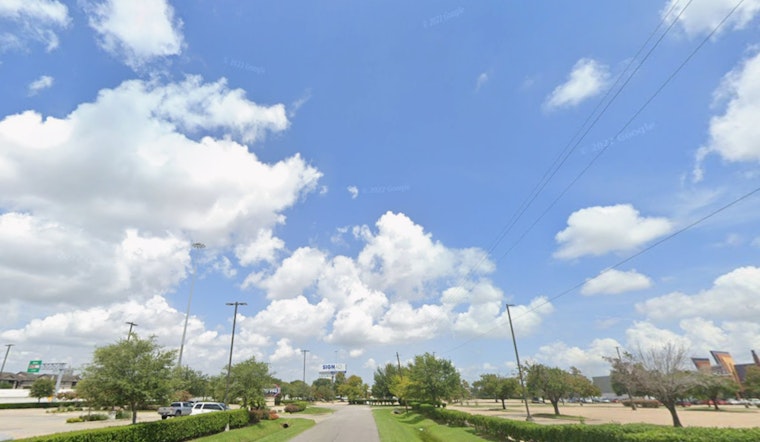
Houston rolled into Monday, February 16, 2026, with clear skies, mild air and a wake-up temperature near 52°F. Patchy fog settled in along the coast and over low-lying neighborhoods for the early rush, but forecasters say skies should turn partly sunny with an afternoon high near 71°F. Drivers are urged to build in a little extra time where visibility drops around bayous and coastal corridors.
Foggy Mornings, Sunny Afternoons
Patchy fog will be most stubborn before 9 a.m. around Galveston Bay, though most areas should shake it off by late morning. From there, expect partly to mostly sunny skies and temperatures climbing into the low 70s, according to the National Weather Service. If your commute runs through low-lying spots, it is worth easing off the gas until the haze lifts.
Midweek Heat
Winter takes a quick coffee break this week as highs jump into the mid 70s on Tuesday, then push into the 80s by Wednesday and Thursday, a warm stretch that could brush up against near-record territory. Keep water handy for pets and for anyone sensitive to heat during the peak afternoon hours. The Houston Chronicle has more detail on the midweek warmup.
Boaters and Commuters Take Note
Moderate onshore winds are expected to strengthen from Tuesday into Wednesday, with gusts up to about 20 knots offshore and a noticeable southerly breeze inland. Small craft operators should secure loose gear and think twice about nonessential trips, the National Weather Service advises. Morning fog paired with light winds may still slow parts of the early commute, especially in low-lying neighborhoods and near the bay.
Looking Ahead
The next meaningful shot at rain and storms arrives late Friday into Saturday as a cold front approaches. Scattered showers and a few thunderstorms are possible ahead of the boundary, which should knock temperatures back a bit for the weekend, according to the Houston Chronicle. It is a good idea to check the latest forecasts before locking in outdoor plans.


