Saturday, February 28, Jacksonville woke up socked in by thick fog and mist, with temperatures hovering in the upper 50s. Visibility dropped in spots early, and low clouds are expected to hang around much of the day before slowly breaking. Highs should top out near 67°F, with only a slight chance of light showers before noon.
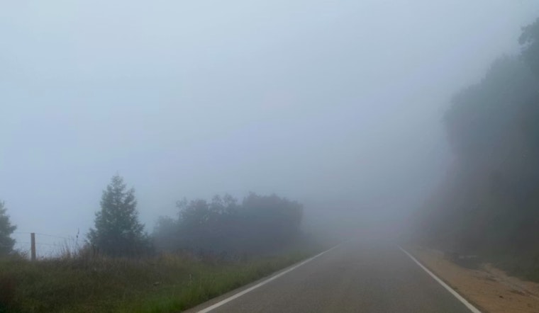
Morning Fog And Commute
Patchy to locally dense fog is expected to linger through mid-morning, cutting visibility down to around 1–3 miles in some inland pockets and slowing the drive, according to the National Weather Service in Jacksonville. There is a slight chance of light rain before midday, but most areas should stay dry as the low clouds gradually thin. Drivers are urged to use low beams, take it easy on the gas pedal, and leave extra room to stop on ramps and bridges.
Afternoon And Weekend Outlook
This afternoon stays mostly cloudy with a high near 67°F, then temperatures ease back a few degrees later in the day as onshore flow picks up. Sunday looks brighter, with more sunshine and highs around 70°F inland and cooler readings hugging the immediate coast. Early next week, inland temperatures trend warmer, reaching the low to mid 70s by Monday and Tuesday.
Week Ahead, Beaches And Boats
A northeast wind surge Monday into Tuesday will bring breezy onshore winds around 10–20 mph with gusts near 30 mph. That setup could kick up the surf, raise rip-current risk, and lead to Small Craft Advisories Monday night into Tuesday. For context, see sunny 70s and stiff winds. Anyone with beach or boating plans should check in with lifeguards and the NWS before heading out and be ready for choppy conditions along the coast until the onshore flow eases by midweek.
Bottom Line
Plan on giving yourself extra time Saturday morning and steer well clear of stalled or slow-moving vehicles in low-visibility spots. From Monday through Wednesday, beachgoers and boaters should keep a close eye on conditions and follow local advisories as the onshore winds crank up.


