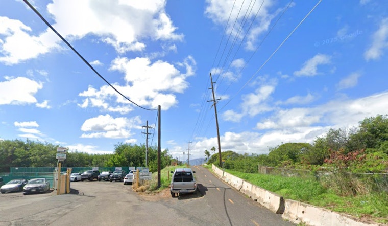
Sections of the five‑mile Pearl Harbor bike path between Waipahu and the Aloha Stadium area are now regularly turning into shallow saltwater pools, as king tides and rising seas spill over the trail. Riders are left to slog through standing water or hop onto a tight sidewalk next to Kamehameha Highway, and local cyclists say this is now a routine headache, not a quirky one‑off. The repeat flooding is forcing Honolulu officials to reckon with how climate‑driven high tides should guide repairs and the long‑term design of the route.
University of Hawaiʻi photos and data flag at least eight spots along the path where king‑tide or passive flooding regularly washes over the asphalt, and a rider’s video from Feb. 19 shows water running across the trail near the Waimalu Stream bridge, according to News From The States. The outlet reports that a Department of Transportation Services spokesperson said “staff are aware of the flooding issue and will evaluate it as part of a South Shore trail plan,” and it quotes local rider Aaron Yri warning that the detour onto Kamehameha Highway feels unsafe because there is no dedicated bike lane. Yri said he skips the path at night and sometimes opts for the rail back to East Kapolei to avoid the worst of the water.
City Response and the South Shore Plan
The city’s Department of Transportation Services oversees the Pearl Harbor corridor as one link in a broader South Shore shared‑use path that is supposed to knit together existing trails across southern Oʻahu, according to the city’s Complete Streets program. Honolulu Complete Streets describes that multi‑community corridor, and local reporting has noted DTS leaders, including the department director, working on recent bike‑path upgrades and planning talks that factor in resilience.
Short‑Term Detours and Repairs
The city has already rolled out pavement and safety upgrades along parts of the Pearl Harbor trail, and one refurbished stretch in Aiea reopened in October 2025, according to local coverage. KITV documented that completed segment, and earlier construction notices told users to follow signed detours along Kamehameha Highway during work hours, a workaround that still leaves riders squeezed onto a narrow sidewalk.
King Tides and Sea Level Rise Are Changing the Baseline
High‑tide flooding is no longer just an occasional quirk, according to state climate data, which show that Honolulu is experiencing more frequent high‑tide inundation and that low‑lying, historically filled areas are particularly at risk. The Hawaiʻi Climate Change Portal notes that king‑tide and sunny‑day flooding are becoming more common as seas rise, putting extra stress on roads, trails and stormwater systems and complicating long‑range planning for coastal infrastructure.
For now, riders are winging it. Some wait for tides to drop before heading out, others edge along Kamehameha Highway despite the cramped sidewalk, and a few shift their trips to daylight hours or hop on the rail when flooding looks likely. The city says the trouble spots will be reviewed as part of South Shore planning and ongoing trail work, while other Leeward and Pearl Harbor connections continue to see upgrades.
Anyone who runs into flooding or damage on the Pearl Harbor bike path can flag it through the city’s HNL311 portal (honoluluhi.citysourced.com), the HNL311 mobile app, or the mayor’s complaint line at 808‑768‑4381. Local reporting and city guides list those contacts as the go‑to channels for sending in photos and precise locations so crews can keep tabs on recurring hot spots.


