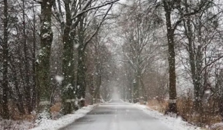
Milwaukee is waking up to cloudy skies and a teeth-chattering 19°F this morning, with just enough light snow on the way to mess with the commute. A quick round of flakes is expected to move in during the morning rush, which could leave untreated roads and bridges slick. If you are heading out, plan on a slower trip and build in some extra time.
What To Expect This Morning
According to National Weather Service, snow is likely before 1 p.m. Thursday, with temperatures climbing to a high near 31°F. Most spots should pick up less than half an inch of accumulation, but brief bursts near 0.5 inch per hour could quickly slicken the pavement and cut visibility just as traffic is heaviest. Southwest winds at 5–15 mph will add a noticeable breeze through the afternoon.
Commute Tips
Give yourself extra time for morning trips, especially on ramps, bridges, and other elevated surfaces that tend to ice up first. Slow down in any heavier bursts of snow and go easy on the brakes. Transit riders should keep an eye on real-time bus tracking and check for snow‑route changes or delays before heading out; see winter guidance from RideMCTS. Drivers should leave plenty of room for plows and start braking earlier than usual.
Gale Watch For Lake Michigan
A Gale Watch is posted for the open waters of Lake Michigan beginning mid-morning tomorrow, and continuing through the evening. National Weather Service expects northerly winds gusting 35–40 knots (about 40–46 mph) with building waves over ice‑free areas. A period of heavy freezing spray is likely Friday into Friday night, so mariners and small‑boat operators are urged to secure vessels and stay off the water during the watch.
Outlook
Another round of wintry weather is possible late Thursday night into early Friday, with snow and pockets of freezing drizzle that could extend slick conditions into the Friday morning commute. By Friday afternoon, winds increase and temperatures rise into the mid‑30s, helping to ease impacts. Dry but colder weather returns Saturday, with highs near 21°F, before a low‑chance system approaches next week. Forecasters advise keeping tabs on updates through Friday in case the details shift.


