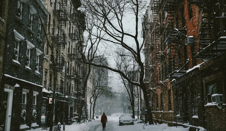
The National Weather Service has issued an Extreme Cold Warning for New York City through 1 p.m. EST today, citing wind chill values between -5 and -15 across all boroughs and wind gusts reaching up to 30 mph in some areas.
Today’s high temperatures in Manhattan are expected to reach only the low teens, with blustery northwest winds. Similar conditions are reported in Brooklyn, Queens, The Bronx, and Staten Island, contributing to potentially hazardous weather.
Following the Extreme Cold Warning, the city will transition to a Cold Weather Advisory in effect from 1 p.m. this afternoon until 10 a.m. Monday. While less severe, these conditions can still pose risks to vulnerable populations, including the elderly and those without shelter.
The Hazardous Weather Outlook indicates that, along with low temperatures, maritime areas are under advisories. A Freezing Spray Advisory is in effect for several bays, and a Heavy Freezing Spray Warning is in effect for Long Island Sound until 6 p.m. Ice accumulation can create hazardous conditions for vessels and mariners.
Forecasts for the rest of the week indicate a gradual warming trend, with temperatures approaching the 30s and periods of sunshine. There is a possibility of snow on Tuesday, and nighttime lows are expected to remain cold. Residents should be prepared for continuing winter conditions throughout the week.


