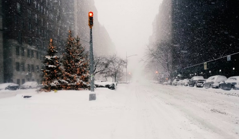
The National Weather Service has issued multiple advisories, including wind advisories and extreme cold warnings, effective from Saturday morning through Sunday afternoon, as winter weather is expected across New York City. Forecasts for Manhattan, Brooklyn, Queens, the Bronx, and Staten Island indicate similarly low temperatures and the possibility of snowfall during this period.
Ahead of the incoming weather system, residents are preparing for a wintry mix, with forecasts indicating an 80% chance of snow across most boroughs tonight and potential accumulation of less than one inch. Temperatures are expected to drop significantly, with wind chill values in some areas ranging from −10 to 0. Forecasts also indicate that wind gusts could reach up to 49 mph on Saturday, which may result in very cold conditions.
Despite the cold conditions, Manhattan and Brooklyn are expected to reach a high near 31 today, though wind chill values will make it feel colder. Queens is forecast to experience similar daytime conditions, with temperatures across these areas declining further by the evening, along with increasing winds.
The cold weather is expected to affect all boroughs. In the Bronx, forecasts indicate a 50 percent chance of snow mainly before 1 p.m. on Saturday, following snow showers tonight across the city. Staten Island is forecast to experience similar conditions, with declining wind chill values and strong winds.
The Hazardous Weather Outlook for the region includes a wind advisory from 9 a.m. Saturday to midnight Saturday night and an extreme cold warning from 10 a.m. Saturday to 1 p.m. Sunday. Residents can stay updated by listening to NOAA Weather Radio or visiting weather.gov. Weather spotters are asked to report significant conditions using standard procedures, as these reports provide information on the local effects of the hazardous weather.


