Raleigh begins Wednesday, under mostly cloudy and mild conditions, with temperatures near 54°F at Raleigh-Durham early this morning. Light rain is expected before 10 a.m., but skies should clear to partly or mostly sunny by midday. Afternoon highs are forecast near 64°F, with west winds strengthening and gusting into the low 20s. Tonight will turn cooler as drier air moves in, dropping lows to around 33°F.
Timing and What To Expect
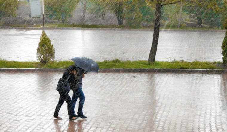
Showers are most likely before 10 a.m. local time, with new rainfall totals generally under a tenth of an inch, enough to dampen roads but not enough to trigger flooding issues. The rest of the day looks brighter and breezy, with west winds around 6 to 13 mph and gusts topping out near 23 mph. This setup lines up with the latest forecast discussion from the National Weather Service office in Raleigh.
Afternoon Winds Pick Up
Behind the front, a northwest flow will dry things out while keeping temperatures on the mild side, but gusts in the 20 mph range could knock around any unsecured outdoor items and make it feel a bit cooler than the thermometer suggests. Forecasters highlighted conditions that could support elevated fire danger this afternoon, though state forestry officials told them that recent snowmelt should keep fuels marginal and limit the threat. This follows an earlier wind heads-up we ran on January 11; see our earlier wind alert for context.
Weekend Rain Outlook
Looking ahead, forecasters are tracking a stronger system set to move in late Saturday night into Sunday, with high confidence in at least light to moderate rain across the region. Exact rainfall amounts and how widespread the heaviest bands become are still uncertain, but you can likely count on a damp Sunday, with highs near 52°F and a solid chance of steady rain for much of the day.
Quick Tips
For today, a compact umbrella will come in handy for the morning commute, and drivers should be alert for slick spots on untreated roads. Secure outdoor furniture and lightweight decorations before the windiest afternoon hours. For the weekend, anyone with outdoor plans Saturday night into Sunday should have a backup option ready, since that window looks the most vulnerable to the incoming rain.


