Sacramento woke Saturday, February 7, 2026, under a blanket of thick morning fog, with temperatures in the low 40s, and some low-lying neighborhoods and river corridors seeing visibility drop below a quarter mile. The murk is expected to thin by mid-morning, setting the stage for a sunny, mild afternoon with highs near 67°F across much of the Valley. Light winds should keep things comfortable once the sun finally takes over.
Morning Commute
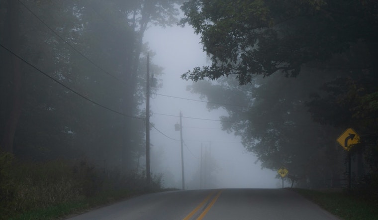
Patchy to locally dense fog is expected through about 9 a.m., with the thickest pockets along the Delta and near the Sacramento and American rivers, where visibility can fall sharply. Drivers are urged to use low-beam headlights, slow down, allow extra travel time, and avoid stopping on freeway shoulders if visibility suddenly drops. Check conditions before heading out using NWS Sacramento and the live Caltrans traffic cameras.
Afternoon Outlook
Once the fog lifts, most of the Valley should see mostly sunny skies and highs in the mid-to-upper 60s - around 67°F - with light north-northwest breezes near 2 mph. Temperatures are expected to drop back into the mid-40s overnight so that Sunday will start on the crisp side. Midday and afternoon outdoor plans should work out fine as long as you wait for the morning haze to clear.
Weekend Into Next Week
The mild, quiet pattern on Saturday starts to shift on Sunday as a glancing Pacific system moves through. Light rain and mountain snow are possible from Sunday into early next week, with the best odds for measurable accumulation on Sunday and again on Tuesday. Forecasters expect only minor impacts in the Valley, although there is a slight 5-10% chance of thunderstorms on Monday, so it is worth monitoring updates if you have outdoor plans later in the weekend. For the latest timing and projected amounts, see NWS Sacramento.
Bottom line: give yourself extra time for early trips, stick to low beams in the fog, and check traffic cameras or the NWS before you hit the road. Updates will follow if any advisories are issued.


