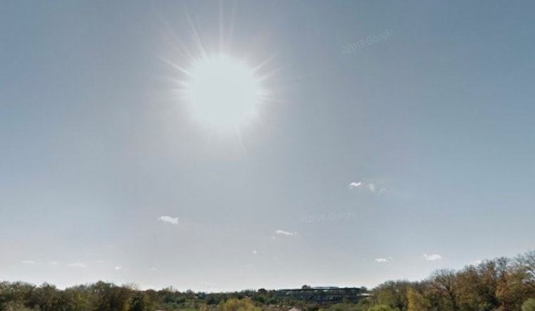
Sunday, Feb. 22, 2026 in San Antonio comes with crystal-clear skies to kick off the morning and a brisk feel, with about 47°F at the downtown observation site. Sunshine plus a persistent northeast breeze will nudge the metro toward a high near 65°F this afternoon, with gusts climbing into the mid-20s. It is one of those “nicer than it feels” days, where the wind undercuts the thermometer and may rattle any unsecured lawn furniture or light outdoor decorations. Tonight stays mostly clear, with lows near 38°F, and some protected valleys north of Highway 90 could slip to near or even below freezing.
Afternoon Winds Pick Up
Through the afternoon, forecasters are calling for steady northeast winds around 10 to 15 mph and gusts that could spike to 25 mph. Those bursts may make things a bit dicey for high-profile vehicles on open stretches of road. Highs are still projected to land near 65°F, but with relative humidity in some spots dropping into the low-20s, fire weather concerns tick up across much of South Central Texas. That guidance comes from the National Weather Service.
Burn Ban And Fire Risk
Bexar County already has an outdoor burn ban in place for unincorporated areas. The order, which was extended on Feb. 3, runs through May 11, 2026 and allows limited use of screened burn barrels in certain situations while spelling out penalties for those who ignore the rules. A violation is a Class C misdemeanor that can bring a fine of up to $500, according to KSAT. With that ban, gusty winds and dry air all in the mix, even small brush or a stray spark can spread quickly in rural and edge-of-town areas.
Plan For Commute And Outdoor Activities
If you had “burn the brush pile” on today’s to-do list, it is a good day to reschedule. Hold off on any debris or brush burning, and keep grills, leaf blowers and other spark-makers well away from dry grass. Around the house, secure loose patio items before the breeze relocates them for you. On the road, watch for gusts if you are driving an RV, a box truck or towing a trailer, and build in a little extra time for the afternoon commute. If you are heading into the Hill Country or rural valleys where overnight lows can fall to freezing, keep an eye on local advisories and the latest forecast from the National Weather Service.
Warm-Up Later This Week
The cool, breezy setup does not stick around long. By Tuesday, Feb. 24, 2026, highs are expected to jump into the mid-70s, with an even stronger warm-up by Wednesday, Feb. 25, 2026 when many spots could top out in the upper-80s. No measurable rain is in the outlook through next weekend, so the dry pattern looks likely to hang on for now.


