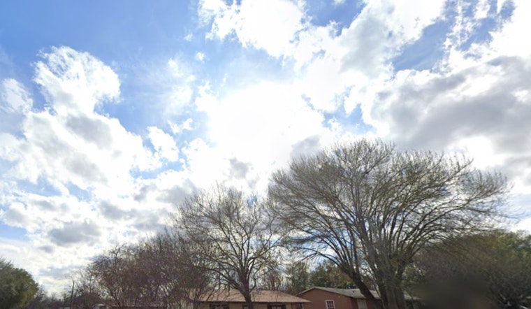
San Antonio started Saturday, Feb. 28, 2026, under a blanket of patchy fog and mist, with temperatures in the low 60s near the airport. The gray start is expected to thin by midmorning, giving way to plenty of sun and a high near 86°F this afternoon, which feels a lot more like spring than late February, according to the National Weather Service.
Afternoon Winds Pick Up
South southeast winds will stay light early, then build to around 5–15 mph during the afternoon. Mixing could kick up gusts near 25 mph on Sunday and into next week. Forecasters at the National Weather Service Austin/San Antonio expect the warm pattern to hang on, with daytime highs holding in the mid 80s through Tuesday.
Foggy Mornings, Mostly Clear Afternoons
Patchy fog is most likely before about 9 a.m. both Saturday and Sunday, especially in low lying neighborhoods and closer to the coastal plain, where brief stretches of very low visibility are possible. Local coverage notes that this weekend should stay dry and warm, but that chances for scattered showers and a few storms start to climb by midweek as Gulf moisture pushes back inland. Express-News
Commutes And Outdoor Plans
For early commuters, the advice is simple: slow down, use low beams, and leave extra following distance, since visibility could briefly drop to a quarter mile in spots before the fog burns off. Early flights and morning boat traffic should plan for possible delays or low ceilings, and the NWS says it may issue Dense Fog Advisories for the hardest hit areas if thicker patches develop. For more context on this pattern, see our earlier fog and heat outlook.


