San Antonians rolled out of bed Friday, February 13, 2026, to a muggy, gray start as patchy dense fog settled over parts of the Hill Country and the I-35 corridor. In some spots, visibility dropped to a quarter mile or less before sunrise. Morning temperatures are sitting in the 60s and are expected to climb to near 80°F this afternoon under mostly cloudy skies, with southeast winds around 0 to 10 mph and gusts up to about 20 mph.
Fog And The Morning Commute
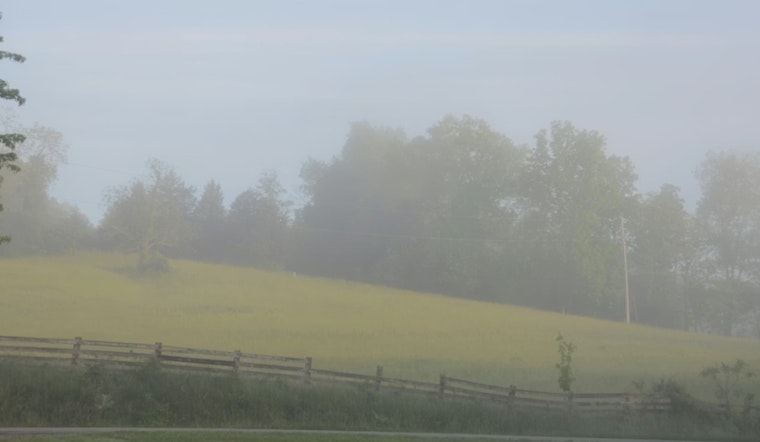
Patchy dense fog developed before 9 a.m., slowing the earliest commutes in low-lying areas and along the I-35 and I-37 corridors. Drivers are urged to stick with low-beam headlights and leave extra stopping distance. The thickest fog should lift by mid-morning, with visibility improving through the late morning commute. A Special Weather Statement early today flagged those conditions, according to NWS Austin/San Antonio.
Saturday Timing And Storm Threat
A Pacific upper low will crank up rain chances on Saturday, February 14, with showers and thunderstorms likely from late morning into the afternoon and a high near 77°F. Most neighborhoods are expected to pick up only a few tenths of an inch of rain, although isolated spots could see a half inch or more, and brief heavy downpours are on the table. Forecasters have laid out a short timeline for when rounds of rain and storms may sweep through the area, and local coverage is breaking down that timing for San Antonio.
Fire Weather West Of I-35
Once Saturday’s showers move through, a mid-afternoon wind shift could briefly trigger elevated to near-critical fire weather conditions Saturday afternoon and again around midday Sunday for counties west of I-35 and I-37. Warm temperatures, low humidity over cured grasses, and gusty afternoon winds will drive the concern, so residents in those areas should skip open burning plans this weekend. The forecast discussion and outlooks from the local NWS office highlight that elevated fire-weather potential for western counties, according to NWS Austin/San Antonio.
Plan Ahead
Expect a slower start to Friday where fog hangs on, and keep an eye on radar Saturday before committing to outdoor plans. A light layer will go a long way for the mild but humid afternoons. Secure loose outdoor items ahead of the gustier winds, and postpone any planned burns or debris disposal west of I-35 and I-37 through Sunday.
This story is a substantive update to Hoodline’s earlier coverage of patchy fog and a warming stretch. For background and local context, check out our Feb. 10 update on patchy fog and a warming stretch.


