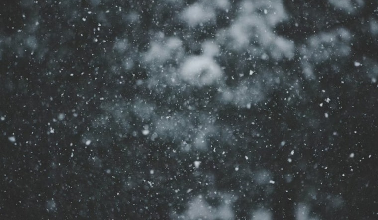
Detroit woke up to a light but persistent snow this morning, with temperatures stuck in the mid-20s, about 27°F, and a stiff north-northwest wind making it feel even colder. Scattered snow showers are expected to hang around through midafternoon on Monday, Feb. 23, 2026, so plan for slower-than-normal rush-hour traffic and slick patches on untreated ramps and side streets.
Afternoon Winds Pick Up
According to NWS Detroit, there is about a 50% chance of snow showers through midafternoon, with a high near 29°F before readings dip toward 25°F later in the day. North-northwest winds are expected around 13 to 16 mph, with gusts up to 26 mph that can blow light snow across exposed roads. Drivers are urged to build in extra travel time and take it easy on bridges and off-ramps, where gusts and drifting snow could briefly knock down visibility.
Snow Tuesday Night
A fast-moving clipper sliding in late Tuesday, Feb. 24, into Tuesday night brings the best shot at accumulating snow. Metro Detroit is generally expected to pick up less than an inch Tuesday night, while totals of about a half-inch to 2 inches are more likely across the Saginaw Valley and the northern Thumb, which often squeeze out a little extra snow from these quick-hitting systems.
Overnight And Commute
Monday night, Feb. 23, will turn colder, with lows near 16°F and northwest winds of 3 to 10 mph, gusting up to 18 mph. Early Tuesday morning wind chills could land in the 0 to 5°F range, so layers are the way to go for the commute. Road crews are expected to concentrate on major routes, while untreated side streets and sidewalks may stay slick into Tuesday morning.
What Residents Should Know
This update fine-tunes our earlier report, especially on the timing of the clipper and the wind. See our Feb. 22 piece for a rundown of yesterday's conditions. Coverage of the initial burst of sneaky snow highlighted how quickly the commute slowed, while today's forecast focuses on colder temperatures and the Tuesday-night chance for light additional accumulations. If you have outdoor plans over the next 48 hours, keep an eye on updated forecasts.
Quick Tips
If you have to drive, ease off the gas, leave extra room to stop, and keep an eye on bridges and ramps where black ice often lurks. Cyclists and pedestrians should dress for the wind and cold and be ready for short-lived pockets of reduced visibility when the gusts kick up the snow.


