Philadelphia is waking up to mostly cloudy skies and mid-30s temperatures Saturday morning, with a brighter and milder afternoon on deck before the real trouble shows up. Highs are expected to climb into the upper 40s later Saturday, giving residents a brief window to get ready. A powerful coastal storm is forecast to move in Sunday and linger into Monday, bringing heavy snow, strong winds and the risk of tidal flooding.
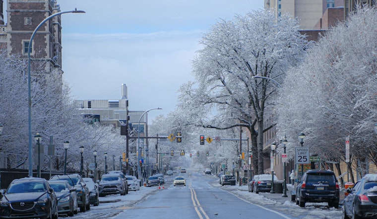
Saturday Snapshot
Saturday is the classic calm before the storm: mostly sunny with a high near 48°F and west winds around 5 to 10 mph. If you have errands, shovel locating, or last-minute prep to handle, this is the time. Roads should remain in good shape through Saturday afternoon, so it is the safest window to stock up and settle in.
Sunday Into Monday: Heavy Snow And High Winds
Late Saturday night into Sunday, precipitation spreads into the region and then flips to all snow as colder air moves in. The National Weather Service Mount Holly is calling for heavy snowfall, with widespread totals of 8 to 18 inches possible, locally higher amounts, snowfall rates that could top 2 inches per hour, and strong winds with gusts up to 30 to 40 mph inland and up to 55 mph along the coast. Winter Storm and Blizzard headlines are in effect for parts of the region, so check the latest guidance from the National Weather Service Mount Holly.
Coastal Flooding And Travel Impacts
Sunday night's high tide cycle lines up with the strongest onshore flow, which raises the odds of moderate coastal flooding, with near-major flooding possible at some ocean-facing spots in low-lying and back-bay areas. Whiteout conditions and drifting snow could knock visibility down to near zero at times. Travel may be very difficult or impossible during the height of the storm, and major delays or cancellations are likely for Monday commutes.
How To Prepare
Top priorities are simple but important: charge devices, stock up on medicines and nonperishable food, and keep a flashlight, warm clothing and water ready if you must travel. The City of Philadelphia has local guidance on warming centers, 311 operations and food-site hours. See the City of Philadelphia page for details and updates.
Forecast details and warnings will continue to evolve, but if you live near the shoreline, it is a smart move to get vehicles off low-lying streets before Sunday evening and avoid nonessential travel while the storm is in full swing.


