Today starts cool but calm in Baltimore, with partly sunny skies and temperatures near 41°F. The city should warm into a mild afternoon high around 57°F with a light breeze from the south. The real action waits in the wings for Thursday, when warmer air builds ahead of a strong cold front. Late Thursday into Friday is the time frame to watch, as that front brings rain and the chance for thunderstorms across the region.
Thursday Night Storm Risk
A strong cold front is projected to push through late Thursday into Friday, turning spotty showers into increasingly likely rain Thursday night and into Friday morning. Forecast guidance points to roughly a 70% chance of precipitation Thursday night, with most areas seeing about a tenth to a quarter of an inch of new rainfall. Isolated heavier downpours and brief gusty winds are possible, although the threat for stronger storms tends to weaken east of the mountains. Residents are urged to monitor watches and warnings and to be ready to move outdoor plans inside if storms flare up, according to NWS Baltimore/Washington.
Friday And Weekend Chill
Rain remains likely on Friday, with afternoon temperatures near 60°F and northwest winds turning gusty behind the passing front. Readings drop off quickly Friday night as colder air pours in. Saturday looks noticeably cooler, with highs in the upper 40s and overnight lows dipping into the mid-20s before a gradual warmup back into the 50s by Sunday. The weekend stays dry and cooler, but if rainfall totals end up on the low side, inland areas could see some spotty fire-weather concerns.
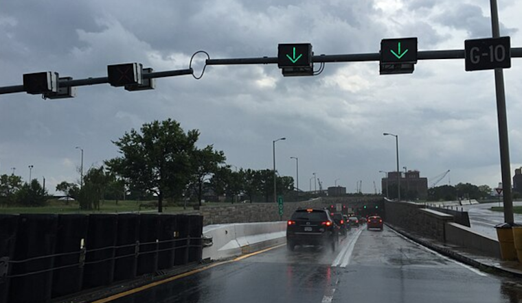
Harbor, Boaters And Commute
Southerly winds ahead of the front will push water levels higher on the Chesapeake Bay and the Potomac River today, and a few sensitive spots in the middle to upper bay could flirt with minor flood stage around the afternoon high tide. Mariners should plan for strengthening southerly winds tonight and the potential for small-craft conditions as the front closes in. On land, drivers can expect wet roads and slower-going conditions from Thursday night into the Friday morning commute. For detailed tide timing and station-specific forecasts, check NOAA Tides & Currents.
How To Prepare
Have an umbrella or rain jacket handy for Thursday evening, and secure any loose patio furniture or outdoor items before the front arrives. If you are traveling overnight, build in extra time for slick roads. Keep weather alerts enabled on your devices and check the latest forecast from the NWS before heading out late Thursday into Friday.


_approaching_the_north_entrance_to_the_Baltimore_Harbor_Tunnel_in_Baltimore_City,_Maryland.jpg)