Wednesday morning, March 25, starts off calm in downtown Cleveland, with clear skies and temperatures in the mid-30s. Readings climb into the upper 50s this afternoon, but the real warmup hits Thursday, March 26, when highs surge into the upper 60s before a strong cold front barges in late in the day. That front is expected to fire up a line of showers and thunderstorms Thursday evening into Thursday night, then send temperatures crashing back into the low 30s by early Friday. If you have outdoor plans Thursday night, be ready for a fast flip from warm and humid to windy, wet, and chilly.
Thunderstorm Timing And Threats
A cold front is expected to sweep southeast across northern Ohio after about 7 p.m. on Thursday, March 26. Storms should develop along and ahead of that boundary and roll through the region during the evening and overnight hours. The primary concerns are damaging straight-line wind gusts, hail in the stronger cells, and localized heavy rain, with new rainfall totals of roughly three-quarters of an inch to an inch possible overnight. Forecasters at the National Weather Service in Cleveland are flagging Thursday night as the main window for stronger storms. For details and updates, check the latest forecast discussion from NWS Cleveland.
Evening Commute And Weekend Start
The most disruptive stretch for travel looks to be Thursday evening into the night, when heavy downpours and gusty winds could sharply cut visibility and trigger brief flooding on low-lying streets. Once the front slides through, temperatures are expected to drop quickly, from the upper 60s Thursday afternoon to the low 30s by early Friday. As the rain shuts down, a brief mix of wet snow or sleet is possible. Friday will feel much colder, with a high near 39, so the weekend gets off to a noticeably brisk start.
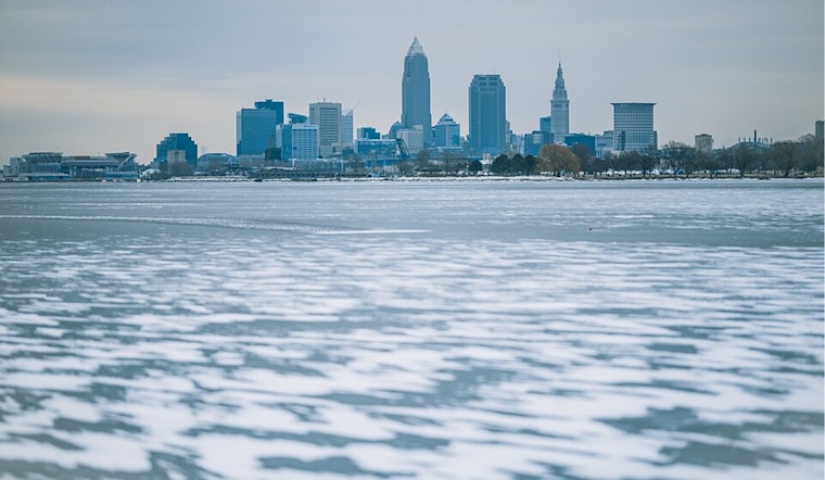
Lake Erie And Boating Concerns
Conditions on Lake Erie could turn rough Thursday night as winds swing from the southwest to the northwest and increase to around 15 to 25 mph. Waves are expected to build to 3 to 6 feet, which will likely prompt a Small Craft Advisory for parts of the lake. The same National Weather Service discussion notes that higher waves and stronger gusts are possible immediately behind the front, so small-craft operators should think about delaying trips until winds and waves drop back down. For up-to-the-minute marine forecasts, use the National Weather Service resources referenced above.
Practical Steps For Residents
Residents may want to secure loose outdoor furniture, bring pets and plants inside, and shift any flexible evening events to earlier in the day where possible. Keep a battery-powered weather radio handy or make sure phone alerts are enabled Thursday night. If you run into flooded roads or encounter sustained damaging winds, move to a safe interior room away from windows and stay put until the worst of the weather passes.


.jpg)