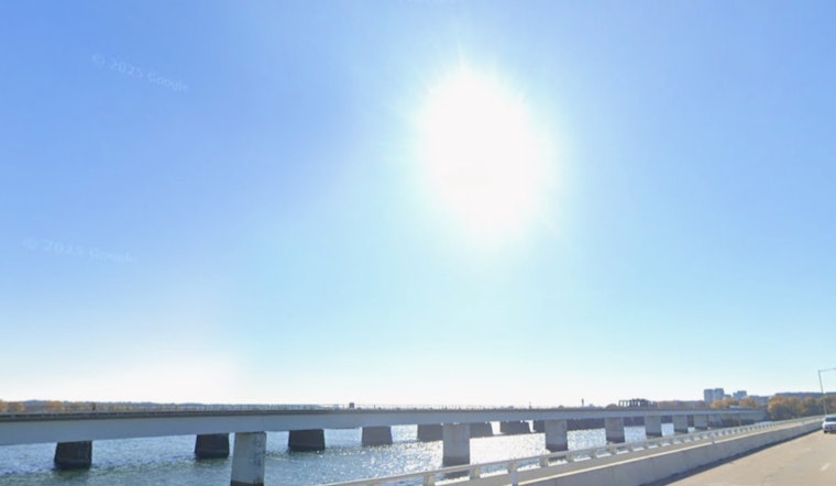
Washington, D.C. woke up clear and in the upper 40s on Monday, March 9, 2026, but the week is pulling a fast one on the forecast: a quick shot of sun and above-normal warmth to start, then a sharp cold front slamming in by midweek. Look for sunny skies and highs near 72°F Monday, with temperatures pushing into the upper 70s on Tuesday. That early taste of warmth shuts down late Wednesday as a strong front rolls through, bringing rain, gusty winds and a 20- to 30-degree plunge into Thursday.
Sunny Opening Act, Then A Midweek Flip
Monday and Tuesday stay mostly tranquil, bright and mild. Highs land near 72°F on Monday and around 78°F on Tuesday, with light southwest to west breezes. Wednesday is set to be the warmest of the stretch, with readings again in the upper 70s ahead of an approaching cold front late in the day. That front is expected to trigger rain and possible thunderstorms Wednesday night into Thursday, with gusty winds around the mid-30s mph in exposed spots and higher over open water, and a 20- to 30-degree drop by Thursday. These warm readings could challenge daily temperature records for the first half of the week, according to the National Weather Service.
Rain, Wind And A Hard Reset By Thursday
The roughest stretch looks to hit late Wednesday night into Thursday morning, with wet roads, stiff gusts and a chill that will feel extra sharp after the early-week warmth. Commuters should keep an eye on timing updates, since a later-arriving front could make the Wednesday evening drive soggy and slow in spots. Airports and the Potomac waterfront remain the top candidates for the strongest winds and choppier conditions through Thursday.
Make The Most Of The Warmth While It Lasts
Monday and Tuesday are the best bets for outdoor plans, so front-load any weather-sensitive errands, sports or patio time, and have a rainy backup lined up for Wednesday night into Thursday. For a look at how this fits into the month’s pattern and the recent fog-to-warmup shift, see our March 6 update on the foggy start to the month. We will post any watches or warnings if forecasters upgrade the outlook.
Fire Weather, Wind And Basic Safety
Fire-weather concerns stay limited but are still worth a nod. Some drier spots west of the Blue Ridge could see minimum humidities dip into the 20 to 30 percent range early this week, with poor ridgetop recovery overnight above 3,000 feet. No fire-weather warnings are in effect at this time, but it is wise to skip open burns in drier, windier locations and to secure loose outdoor items before Wednesday night’s front arrives. If you are traveling, pack an umbrella and be ready for a brisk, colder feel by Thursday.


