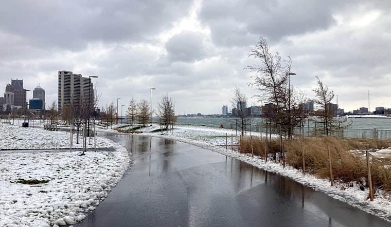
Detroit stepped out the door today, into a gray, raw morning, with temperatures stuck in the mid-20s and a chilly east-northeast breeze. A small pocket of drizzle or freezing drizzle early on could leave a few untreated roads slick before the afternoon warm-up takes over. By later in the day, highs should rebound to near 40°F while the cloud cover hangs tough.
What To Expect Today
There is a slight chance of drizzle between 10 a.m. and 4 p.m., although most neighborhoods are more likely to see light mist or patchy drizzle than any kind of steady rainfall. Temperatures will climb to around 40°F with light east-northeast winds, and any freezing drizzle early in the day should stay limited to a few spots closer to the Ohio border. This forecast comes from the NWS Detroit.
Commuter Notes
For the morning drive, it is worth building in a few extra minutes and treating bridges and overpasses with extra caution, since those are the first to turn slick. Once temperatures nudge upward, treated roads should improve fairly quickly. Pockets of mist or drizzle could trim visibility, so drivers on I-75 and I-94 should be ready for slower traffic through the morning rush. Early flights may also feel the impact of low clouds and patchy drizzle, which could slow airport operations during mid-morning.
Midweek Into The Weekend
Wednesday morning looks mainly dry before a more active pattern moves in on Thursday as a warm front pushes through the region. Rain is expected on Thursday, with new rainfall totals of around a quarter to a half inch possible. Temperatures will rise into the upper 40s on Thursday, then head into the 50s and 60s by Friday and Saturday. The NWS Detroit discussion underscores this multi-day warmup, along with increasing chances for rain and thunderstorms late in the week.
Weekend Outlook and Plans
Friday and Saturday are poised to be the warmest stretch, with highs reaching the upper 50s to mid-60s, but it will not be all sunshine. Periods of rain and a growing chance for thunderstorms mean outdoor plans should come with a solid indoor backup. Any thunderstorms that develop could bring brief heavy downpours and localized lightning, although widespread severe storms are not on the table at this time. Anyone with travel or weekend events should keep up with updated forecasts as the week rolls on.


.jpg)