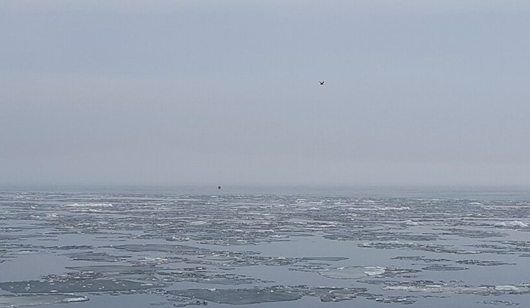
Metro Detroiters are driving through a cloud this morning, with dense fog cutting visibility to a quarter mile or less near the lakes and in low-lying spots and turning the usual rush hour into a slow crawl. Temperatures are hovering near freezing at many reporting sites, and those stubborn pockets of fog are likely to hang around through mid-morning as a warm front edges in.
Dense Fog Advisory Through Mid-Morning
A Dense Fog Advisory is posted until 10 AM EST for parts of southeast Michigan, including Macomb, Monroe, St. Clair and Wayne counties, where visibility has dropped to around one-quarter mile in some locations. That kind of low visibility can make driving hazardous, and forecasters are urging drivers to ease off the gas, switch on low-beam headlights, and build in extra stopping distance. See the full advisory and county list from the National Weather Service Detroit/Pontiac.
Today And Tonight
Once the fog finally lifts, skies should turn partly sunny and temperatures are expected to climb into the mid 40s, with a high near 46°F. Readings may stay a bit cooler right along the lakeshore. East winds will be light, generally around 2-6 mph, and temperatures will slip back into the mid 40s by late afternoon. Rain chances go up later tonight, with a chance of light rain or drizzle after about 9 PM and a low near 36°F.
Thursday Rain And Thunder Risk
Showers spread across the region tomorrow as the main moisture axis moves through, bringing a mostly cloudy day and a high near 45°F. New rainfall totals of about one-half to three-quarters of an inch are possible, with the heaviest amounts over the southern parts of the area, and some elevated thunderstorms Thursday afternoon into the evening could produce brief heavy downpours or small hail. The National Weather Service Detroit/Pontiac has timing and additional details online.
Weekend Warm-Up
Then comes a quick spring preview. Highs jump to around 60°F on Friday and into the mid 60s on Saturday, although a cold front late Saturday could drag in another round of showers and gusty winds. There is still some uncertainty over which parts of the area warm the fastest, so it is smart to keep outdoor plans flexible. Southerly neighborhoods are in line for the biggest bump, while cooler readings should linger closest to the immediate lakeshore.
What To Do
Plan for extra time on the roads this morning, keep low-beam headlights on in the fog, and slow down until visibility improves. Have an umbrella or rain jacket ready for tonight and Thursday, and check the latest forecasts before locking in any outdoor plans later in the week.


