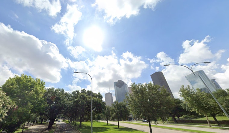
Houston woke up inside a cloud on Monday, March 9, 2026, with thick low ceilings, muggy air, and temperatures in the 70s making the morning commute feel more Gulf than freeway. The metro is expected to warm into the low 80s later Monday, but fog could be dense enough to slow drivers through mid-morning. Low beams, extra following distance, and a little patience are the order of the day while bridges and bayfront roads stay hazy.
Fog And The Morning Commute
Patchy to areas of dense fog will linger across the metro before about 11 a.m., most likely near Galveston Bay and in inland low spots, where visibility may fall below a quarter mile in places. According to the National Weather Service in Houston/Galveston, fog should thin late Monday morning with mostly cloudy skies returning, though pockets of fog may redevelop overnight into Tuesday. Drivers are advised to stick with low beams, reduce speed, and leave extra travel time until visibility improves.
Afternoon Showers, Then A Larger Midweek System
There is a slight chance of spotty light showers or an isolated thunderstorm Monday afternoon between about 1 p.m. and 5 p.m., with only roughly a 20% chance of rain for most neighborhoods. A stronger frontal system will arrive late Tuesday night into Wednesday, March 11, 2026, pushing a line of showers and thunderstorms across Southeast Texas, with locally heavy rain and a few strong-to-severe storms possible, especially north of the city. Temperatures will tumble behind the front, with Wednesday night lows near the mid-50s and much cooler, breezy conditions on Thursday.
Marine Outlook And Spring Break Travelers
Sea fog and reduced visibilities are expected across Galveston Bay and nearby Gulf waters through Monday, and small craft operators should be prepared for worsening conditions late Tuesday into midweek. The National Weather Service notes winds could become sustained around 20 to 25 mph with gusts to gale force possible and seas building to 7 to 10 feet Wednesday night into Thursday, so nonessential trips should be reconsidered. Hoodline covered Sunday's fog and street-slicking showers that already slowed commutes; Sunday's fog and slick streets have been a preview of what early-week drivers are facing.
How To Plan The Week
If you have outdoor plans, expect a slow start Monday morning and keep an eye on forecasts through Tuesday night into Wednesday, when the stronger system moves through. Thursday looks like the clearest, coolest day to be outside, with highs near the upper 60s. A return to warmer, mostly sunny weather is expected by the weekend with highs back in the low 80s. Keep an umbrella handy, monitor local advisories, and avoid putting boats to sea during the midweek wind and wave surge.


