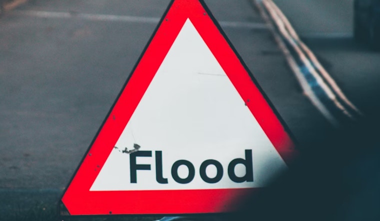
Friday evening turned tense on Molokaʻi after a rapid jump at the Kawela Gulch stream gauge triggered a flash flood warning. Emergency managers reported that flooding was already underway and could spread into nearby drainages, with the warning scheduled to expire at 9:00 p.m. HST that night.
Flash Flood Warning has been issued for Molokaʻi until 9:00 pm HST tonight (3/13). The Kawela Gulch stream gauge reported a rapid rise in water level. Flooding is occurring and may affect other nearby drainages. More info here: https://t.co/imrXL9JFAL
— Hawaii EMA (@Hawaii_EMA) March 13, 2026
Official alerts and watches
The Hawaii Emergency Management Agency posted the flash flood warning on X and highlighted the rapid rise at the Kawela Gulch gauge. At the same time, the National Weather Service in Honolulu kept a statewide Flood Watch in place as a powerful kona low drags deep tropical moisture over the islands, raising the risk of fast runoff and sudden stream rises. For the latest advisories and updates, check NWS Honolulu.
Gauges and what they show
The U.S. Geological Survey runs a network of monitoring stations on Molokaʻi, including the Kawela Gulch gauge cited by officials. The station page is available through USGS Water Data. Rapid jumps in water level in these small gulches can push water over roads and into low-lying properties within minutes, which is why a sharp spike on a gauge typically prompts immediate alerts from emergency managers and the National Weather Service.
Local guidance for residents
Maui County emergency officials are urging residents and visitors to stay out of floodwater, avoid streambeds and low-lying drainages, and move to higher ground if runoff starts to threaten their area. The county posts local alerts and any shelter information through Maui County MEMA. Anyone in a flood-prone zone is advised to treat rising water as dangerous and follow directions from public safety authorities until officials cancel the warning.
Big-picture storm
Meteorologists say Molokaʻi’s flash flood threat is one piece of a broader kona low pattern that has been sending long-lasting bands of heavy rain across the state, with more warnings possible while the system hangs around. For a wider look at the storm setup and statewide impacts, see coverage from Hawaii News Now.


