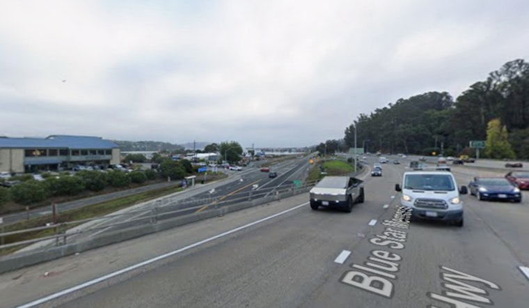
For anyone who has ever white-knuckled it through southern Marin during a king tide, this will sound familiar: that low stretch of U.S. Highway 101 by Marin City and the Manzanita Park & Ride floods, traffic grinds to a halt, and the detours pile up. Now, engineers and planners are weighing two very different and very expensive ways to keep that key link out of the water, warning that constant closures and emergency work are costly too.
As reported by KTVU, officials have narrowed the conversation to two big ideas to protect the highway and nearby neighborhoods: regional tidal barriers at the mouth of Richardson Bay, or a local rebuild that relies on raising the road, improving drainage, and adding pumps and floodwalls.
Two Very Different Paths To Dry Pavement
One concept, outlined in county shoreline planning, would put large high-tide barriers at the entrance to Richardson Bay, essentially tide gates or similar structures that would limit how much bay water can surge into the estuary. Marin County’s Richardson Bay Shoreline Study maps two potential alignments for those barriers and includes conceptual cost and alignment tables that planners still use to evaluate the option. The same Richardson Bay study shows how different barrier scenarios would change flooding patterns in areas that include the Manzanita lot and the Donahue Street interchange.
The other approach on the table is more surgical and staged. Instead of blocking tides farther out, it would focus on the immediate problem area by raising roadway grades where possible, rebuilding or reconfiguring interchanges, and upgrading onsite drainage with a permanent pump station and shorter floodwalls to protect both the highway and the Marin City neighborhood. Caltrans has identified possibilities such as elevating specific segments or shifting portions of Shoreline Highway, while county staff have been crafting a Marin City stormwater plan that directly budgets work on pumps, floodwalls, and dredging to cut down on repeat flooding.
Local project planning and early public outreach show up both in county materials and in Caltrans-oriented summaries. Marin County Public Works details the stormwater planning effort, and coverage of Caltrans’ initial ideas is collected by the Water Education Foundation.
Big Price Tag, Long Timeline
Neither idea is cheap. The shoreline study includes concept-level cost tables for large tidal barrier structures, and agency officials note that any final number will depend heavily on the exact footprint and on what it takes to get permits. On the highway side, planning work by the Transportation Authority of Marin shows just how long these projects can take, from early alternatives workshops through formal project initiation and environmental review. Design, permitting, and construction are likely to unfold over several years, not months.
For residents, the basic tradeoff is clear. A tidal barrier aims to throttle back the volume of bay water that can push into Richardson Bay, while the more local strategy of raised roadways, pumps, and floodwalls focuses on keeping rain and high-tide water moving away from streets and the freeway. Marin County’s outreach process highlights community input as officials try to refine which mix of short-term fixes and long-term infrastructure makes sense for safety, habitat, and equity. Marin County Public Works notes that the stormwater plan is expected to guide grant applications and future project design.
Planners say more public meetings and technical workshops are coming as agencies narrow the options and hunt for money. Until a preferred design is picked and environmental reviews are finished, drivers and neighbors are being told to expect occasional shutdowns during big tides and storms, and to brace for a long, expensive fight to keep this stretch of 101 from going underwater so often.


