Detroiters rolled out this morning into a wall of fog and mist, the kind that eats up your headlights and leaves the streets slick before the first cup of coffee. Visibility dropped, roads turned damp, and the commute slowed down a notch. A steadier, broader shield of rain is set to move in later today, with highs near 44°F and storm totals generally landing between a half and three-quarters of an inch. South and west suburbs should brace for heavier downpours this afternoon into tonight, so drivers and anyone with outdoor plans should plan on wet conditions through the evening.
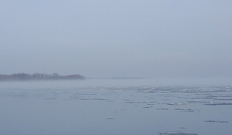
Morning Fog And The Drive
The thickest fog early today is hanging near lakeshore spots and low-lying neighborhoods, where visibility has dipped below a mile in some locations. If you are heading out, build in some extra time. Ramps, bridges and other trouble spots can turn unexpectedly slick when fog teams up with drizzle. Transit riders and air travelers may also see delays, since low ceilings are expected to hang around through mid-morning.
Afternoon Into Tonight
Rain coverage should ramp up by late morning and become steadier through the early to mid-afternoon, roughly from 11 a.m. to 4 p.m. Thursday, with a few brief heavy downpours possible. A couple of elevated thunderstorms cannot be ruled out, especially south of I-94, while afternoon winds stay on the lighter side from the east-northeast. New rainfall totals of about a half to three-quarters of an inch are possible today, with lighter additional amounts tonight. According to the National Weather Service in Detroit, rain should ease to scattered showers overnight, with lows near 37°F.
Weekend Warmth And Storms
Temperatures climb as we head into the weekend, with highs in the upper 50s on Friday and around the mid 60s Saturday, but the pattern does not turn completely dry. Forecast models and local outlooks keep a steady chance of showers and organized thunderstorms in play from Friday night into Saturday. A strong cold front is expected to sweep through Saturday afternoon, and gusts could reach into the mid 20s near the front. That lines up with the trend flagged earlier this week, detailed in our icy drizzle to 60s forecast that broke down the warmup and timing.
Impacts And What To Do
Storm totals of a few tenths to three-quarters of an inch could lead to localized ponding on roads and small rises on area rivers, so keep an eye on low-lying streets and river-adjacent blocks that tend to collect water. Boaters and lakeshore residents should factor in low visibility early today and gusty southwest winds on Saturday and make sure small craft and loose outdoor furniture are secured. If you have travel plans, keep tabs on updates from the National Weather Service and your carrier alerts for the latest on timing and any potential advisories.


