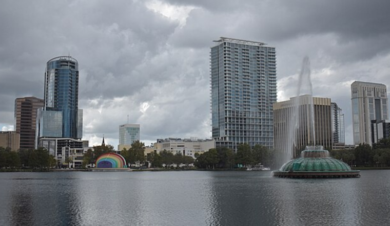
Orlando rolled into Saturday, March 7, under a muggy, clear sky, with early-morning temperatures hovering near 68°F and easterly winds already stirring. The afternoon high is expected to top out around 85°F, and this warm stretch looks locked in through next week. The bigger headache is not inland heat but the ocean, where authorities are strongly discouraging people from heading into the surf this weekend.
Afternoon Showers Possible
A brief round of passing showers could pop up on Saturday, March 7, mainly between 1 p.m. and 5 p.m. as the inland sea breeze pushes east. Any rain should be spotty and short-lived, so outdoor plans can probably stay on the books, just with a light rain jacket in the mix. Drivers should be ready for quick drops in visibility during the late-afternoon commute if a shower rolls through.
Beach Hazard High Through The Weekend
A High risk of rip currents is in place at central Florida Atlantic beaches through the weekend, with combined seas around 3–5 feet and a persistent ENE swell churning up strong longshore and rip currents. According to the National Weather Service, entering the surf is not advised, and anyone who does go in the water should stay in front of lifeguards and follow posted flag warnings without argument.
Mornings Fog And A Hot Week Ahead
Patchy fog is expected in the predawn hours on Sunday, March 8, and Monday, March 9, with visibility dropping before about 9 a.m. local time, so early commuters will want to take it slow. Inland highs climb into the mid to upper 80s through Tuesday, March 10, and Wednesday, March 11. A frontal passage is possible on Thursday, March 12, which could bring a better shot at showers and storms along with a late-week cooldown. For earlier local context on this pattern, see this spring tease and sneaky rip current danger.
Plan Ahead
If you are heading to the coast this weekend, stay out of the surf when red or double-red flags are flying and stick close to lifeguard towers if you do enter the water. Inland, build in a little extra time for foggy morning drives and be prepared for brief, isolated afternoon showers during the peak sea-breeze hours.


