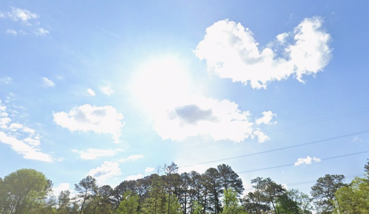
Clouds and about 57°F greet Raleigh this morning, but temperatures will climb fast. Expect skies to turn mostly sunny with a high near 80°F today. A breezy southwest wind at 6–12 mph, with gusts up to 21 mph, will make afternoon errands and outdoor plans feel warmer than the thermometer suggests.
Record Heat Tease Friday, Then A Flip To Chilly
Friday, March 27, is primed to be the real sizzler, with highs near 89°F that could threaten daily records at local climate sites. A strong cold front is forecast to sweep through Friday night, knocking temperatures down into the 40s by Saturday morning and dragging a band of showers and gusty winds across the region. According to the National Weather Service in Raleigh, that front will be the main weather story as the week wraps up.
Friday Night: Quick-Hit Rain And Wind Shift
Expect a 2–4 hour window of showers and a few thunderstorms Friday evening, mainly after 5 p.m. Most spots will pick up less than a quarter inch of rain, with the highest totals closer to the Virginia line and Roanoke Rapids. As the front pushes through, winds will swing around to the north and gust into the 20s mph, bringing blustery conditions and brief pockets of reduced visibility in heavier cells. If you have Friday evening plans, build in some extra travel time and have a quick shelter option ready.
Weekend Chill And Frost Risk
Saturday will feel like a different season, with highs near 57°F and north winds gusting into the mid-20s mph. Saturday night and especially Sunday morning, March 29, lows are expected to drop into the 30–35°F range across many locations, setting up a widespread frost and freeze risk that could damage early-blooming and other tender plants. Gardeners should cover vulnerable vegetation or move potted plants indoors before the colder air settles in.
Fire Weather And Travel Impacts
Before the front arrives, forecasters note that record warmth, a marginally dry airmass and breezy southwest winds could create adverse fire-weather conditions on Friday and again on Saturday. Strong gusts may also complicate driving for high-profile vehicles and turn loose outdoor items into hazards, so securing patio furniture and tarps ahead of the evening changeover is a smart move. If you plan to be out late Friday, keep phones charged for any watches or warnings.
Local Context
This update builds on the warm and stormy setup we covered earlier in March. Our prior coverage ran on March 8, and you can revisit that warm/stormy stretch for more background on the recent pattern.
Bottom line: enjoy today’s mild setup, brace for very warm conditions Friday afternoon and be ready for a sharp cool-down with rain and gusty winds Friday night into Saturday. Protect tender plants ahead of Sunday morning’s freeze threat and keep an eye on updated forecasts if you have late plans on Friday, March 27.


