Raleigh woke up in a cloud on Monday, March 9, 2026, as thick morning fog settled in and cut visibility to a crawl for early commuters and drivers. The National Weather Service has a Dense Fog Advisory in effect through 11:00 AM EDT, with low-lying spots and river valleys expected to see the toughest conditions. Once the haze burns off, though, the city is headed for a burst of unseasonably warm weather and a possible pattern shake-up later in the week.
Foggy Morning, Hot Week Ahead
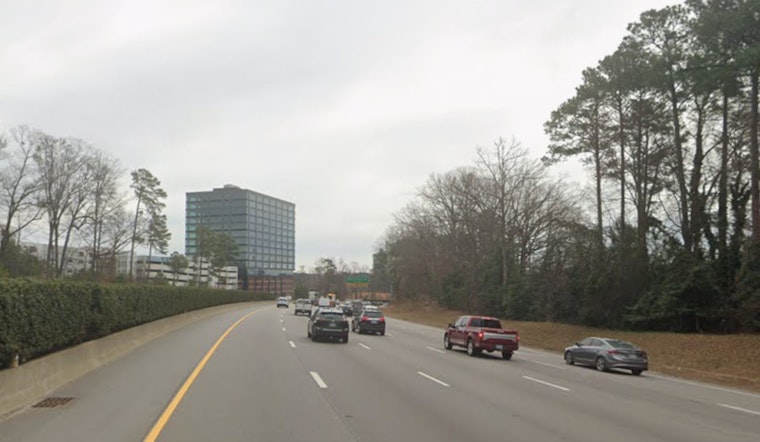
In the fog-prone zones, visibility may drop to around a quarter mile or less, so drivers are urged to slow down, stick with low-beam headlights, and leave extra stopping distance. Localized delays are possible on surface streets and bridges during the morning rush. Highs are forecast to hit about 77°F today, climb to near 82°F on Tuesday, and push into the mid 80s on Wednesday, which could meet or break daily records at local climate sites.
Forecasters are also watching a strong frontal passage expected late Wednesday night into Thursday that could bring showers, along with a low-predictability chance for thunder and some gusty winds. According to NWS Raleigh, the fog should lift by mid to late morning, and the early-week warm spell is likely to stick around through midweek.
What To Expect And How To Prepare
Patchy fog should thin out between mid-morning and early afternoon, giving way to mostly sunny skies and light west to southwest winds, which sets up a solid window for outdoor plans later in the day. If you have pre-dawn or early-morning travel, plan on giving yourself extra time and watch for stalled or slowed vehicles; school zones and bus routes may run late in some spots.
Later in the week, keep an eye on forecast updates in case the timing of the front shifts. A late-night changeover could bring brief heavy downpours or gusty winds to some neighborhoods as the system moves through.


