San Antonio starts Friday, March 27, 2026, on a calm note, with clear skies and mild readings in the mid-60s at Camp Mabry. By afternoon, the city heats up under mostly sunny skies, with temperatures headed for a hot high near 88°F. Later this evening, a strong cold front barges in, flipping winds to the north and dropping temperatures fast, with overnight lows sliding into the upper 50s. If you have outdoor plans tonight, be ready for a quick cool-down and a breezy ride home.
Afternoon Winds Get Rowdy
Southerly to east-southeast breezes will rule through the afternoon, then swing to the north-northeast once the front moves through. Speeds will ramp up to 10–20 mph after passage, with gusts that could reach 30–35 mph overnight. Those bursts will be enough to nudge high-profile vehicles on the road and send unsecured patio chairs scooting across decks and porches. No watches or warnings are currently posted for the San Antonio area. For the latest timing and any updates, check the National Weather Service Austin/San Antonio.
Cooler Weekend On Tap
Saturday will feel noticeably cooler, with a high near 72°F and a persistent northeast breeze keeping things crisp. Saturday night settles into a mild low around 59°F. Warm and dry weather then builds back in Sunday and into early next week, with highs returning to the mid to upper 80s and pushing close to 90°F by Tuesday. By Wednesday night, the midweek pattern could stir up a chance for showers or storms, similar to the swings highlighted in our earlier weather whiplash.
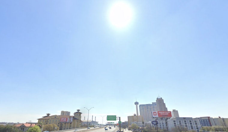
Evening Commute Could Get Bumpy
Expect a gusty Friday evening commute, so build in a little extra drive time and stay alert for sudden crosswinds on bridges and wide open stretches of road. Secure loose outdoor items before the stronger winds arrive, and plan to dress in layers - a light jacket will come in handy by early Saturday morning. Keep an eye on updated forecasts as the front moves through, since details can still shift.


