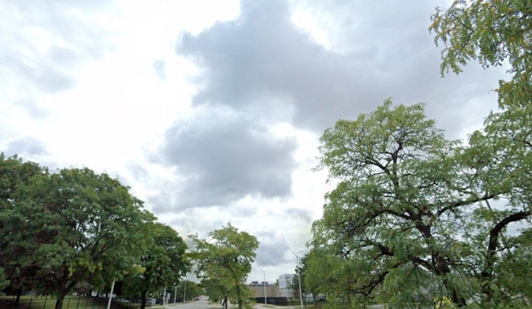
Seattle is starting Tuesday, March 3, 2026, under a blanket of clouds and upper 40s temperatures near Boeing Field (BFI), with another round of rain queued up for later. Showers are expected to slide back into the city during the day, turning the afternoon commute into a wet one, with a high near 54°F and breezy south winds on exposed hills.
Today and Tuesday
Rain is likely across the city on Tuesday, March 3, 2026, with a stretch of mainly light, steady rain expected before about 4 p.m. and a high near 54°F. South winds of 6 to 10 mph will be noticeable on bridges and exposed hills, and new rainfall totals are expected to land between one‑tenth and one‑quarter of an inch, according to the National Weather Service.
Commute and Local Impacts
Patchy morning fog and low clouds may trim visibility in low‑lying neighborhoods and along the Sound, so commuters and delivery drivers should budget a little extra time. Sea‑Tac and other terminals could see lower ceilings around midday, which may slow some flights. On the roads, slick ramps and areas of pooled water are likely, so plan for slower traffic, wet sidewalks, and the need for a reliable rain jacket.
Wednesday: Showers, Thunder and Mountain Snow
Wednesday, March 4, 2026, is shaping up as the most active stretch of the week: rain to start the day, followed by showers and a window for thunderstorms roughly between 1 p.m. and 4 p.m. Snow levels are expected to fall to near 3,000–4,000 feet, which could put down a few inches of snow over the Cascade passes, with Snoqualmie and Stevens on track for about 2–4 inches. Forecasters also call out the potential for a Puget Sound Convergence Zone, which can focus locally heavier rain and isolated lightning. A Small Craft Advisory remains in effect through 1 a.m. Wednesday, March 4, 2026, with seas expected to build later in the week, according to the National Weather Service.
Why This Matters
We first flagged a shift toward a soggier pattern in our March 2 update; the latest forecast tightens the timing and bumps up the odds for midweek thunder. Read the background on that shift toward a soggier pattern.
Bottom Line
Plan for wet commutes through midweek: carry an umbrella, leave a little earlier, and expect slower travel on bridges and ramps. If you are headed over the passes, check road conditions before you go and pack chains if you are unsure about conditions. Keep an eye on the National Weather Service and local travel agencies for updates.


