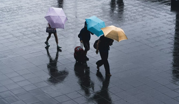
Seattle rolled into Wednesday, March 11, 2026, under a blanket of clouds and light rain, with temperatures parked near 41°F. The showers will get more serious as the day goes on, and a gusty south-to-southwest push this afternoon is set to turn the evening commute into a slower, splashier grind than usual.
Afternoon Winds Pick Up
A Wind Advisory is in place for the city from 3 p.m. Wednesday, March 11, 2026, through 6 a.m. Thursday, March 12, 2026. Forecasters expect south to southwest winds of roughly 7 to 24 mph, with gusts up to about 40 to 45 mph in exposed lowland spots and stronger gusts along the coast. It is a good day to lock down loose patio furniture, keep an eye on that trash bin, and take extra care crossing bridges or riding bikes, since falling branches and isolated power outages are possible. For the official advisory and detailed timing, see the National Weather Service Seattle.
Rain And Commute Risks
Rain will become steadier by mid-morning and carry on into the evening. New rainfall totals through Wednesday are generally expected in the quarter-to-half-inch range in town, with higher amounts in the hills and mountains. Wet roads, heavy spray and reduced visibility all point to longer travel times and slower rush hours, so leaving a bit earlier and watching for standing water in low spots would not be overkill. For background on how this setup came together, check out yesterday's storm preview.
Mountains Are Going To Be Rough
The Cascades are taking the brunt of this system. Blizzard conditions and heavy, wind-driven snow are likely Wednesday night into Thursday, and a Winter Storm Warning covers much of the range through early Saturday. Travel over Snoqualmie, Stevens and other passes could become difficult or even impossible at times. If you absolutely have to go, plan on long delays and make sure you have chains or traction devices in the car. Before you head out, check real-time mountain pass reports and any closures via WSDOT.
Boats, Ferries And What To Watch
Out on the water, conditions will be rough Wednesday afternoon into the evening, with the potential for gale-force winds and very large seas. Small craft should steer clear of exposed areas, and ferry riders may want to build in wiggle room for possible schedule disruptions. Mariners and passengers are urged to keep an eye on official statements and sign up for service alerts if they rely on ferries or water taxis. For the latest marine statements and warnings, see the National Weather Service Seattle.


