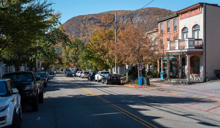
New York City soaked up clear skies and springlike warmth on Tuesday, March 10, 2026, starting in the low 50s during the morning commute with a forecast high near 716F by afternoon. South winds are keeping most inland neighborhoods comfortably mild while shoreline spots cool down once a sea breeze kicks in. The mild stretch hangs on through Wednesday, then a stronger system barges in midweek. If you are banking on outdoor plans later this week, be ready for a sharp temperature drop and breezy conditions by Thursday evening.
Afternoon Warmth, Coastal Cooling
Sun dominates across all five boroughs Tuesday afternoon, with highs expected to reach around 70626F and south winds around 3610 mph with only modest gusts. Coastal parks and beaches turn a few degrees cooler late in the day as the sea breeze slides in, so a light layer is still a smart move if you are heading toward the water. Overnight, skies turn partly cloudy and temperatures slip back to around 506F. Forecast details are from the National Weather Service.
Wednesday Night Into Thursday: Rain Then Wet Snow
A potent frontal system moves into the region Wednesday night, March 11, bringing rising rain chances that build late Wednesday and spill into Thursday morning. As colder air filters in behind the front, the rain could briefly flip to wet snow or a rainsnow mix Thursday afternoon and evening, although any flakes should be soggy and are not expected to leave widespread accumulations in city neighborhoods. Temperatures tumble into the 30s by Thursday night with gusty northwest winds, so the week wraps up much colder and noticeably blustery. Plan on an umbrella for late-week travel and a warm jacket for Thursday evening.
Fog, Flights And Boaters
A Dense Fog Advisory is in effect for eastern Long Island waters and parts of Suffolk County through 11 AM EDT on Tuesday, March 10, 2026, trimming visibility for ferries and shoreline roads during the morning rush. Coastal terminals could see pockets of low ceilings or brief visibility drops early in the day, so travelers with morning flights should check airline alerts before heading to the airport. For local context on how this pattern has been developing, see spring tease in the 60s.
Plan For A Blustery Finish
Winds pick up Wednesday night into Thursday, with gusts possibly reaching the mid20s to around 30 mph and small craft marine conditions likely on the ocean waters for a time during the frontal passage. Streets and exposed areas may feel raw and chilly on Thursday, even as temperatures settle closer to typical early March levels by Friday and Saturday. If you have outdoor plans booked for later in the week, consider shifting them earlier or at least packing both rain gear and a warm jacket.


