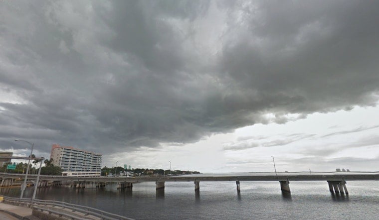
This morning brought mostly cloudy, muggy skies to Tampa, with temperatures on track to warm into the low 80s and scattered showers likely to pop up this afternoon. A sea-breeze-driven round of showers and a few thunderstorms could deliver brief heavy downpours and frequent lightning, cutting visibility on area roadways. If you have outdoor plans, it is a good idea to have a quick shelter plan ready for the afternoon and evening hours.
Afternoon Showers And Thunderstorms
After only a slight chance of showers this morning, rain and storm chances tick up through the afternoon and evening. Forecasters put the probability of precipitation at about 40 percent and expect new rainfall generally between a tenth and a quarter of an inch where storms form. This timing and those rain amounts come from the National Weather Service Tampa Bay office. Any storms that develop could be brief but locally intense, with lightning and gusty winds possible.
Severe Risk Sunday And Monday
Local forecasters are keeping an eye on a marginal risk of severe thunderstorms for tomorrow, and again Monday. The primary hazards would be damaging straight-line winds and hail if storms manage to intensify. We flagged the uptick in storm chances in our earlier forecast, and residents with outdoor events should check updated outlooks as timing and coverage are refined.
Monday Night Cold Front
A stronger cold front is expected to sweep through late Monday into early Tuesday, bringing drier, cooler air to the region. Forecasters note that temperatures could tumble from weekend highs near the low 80s to lows in the upper 30s on the Nature Coast by Tuesday morning, with most spots seeing highs in the upper 50s to low 60s on Tuesday, according to the National Weather Service Tampa Bay office. It will be a noticeable swing, so pack a jacket if you have midweek plans.
Commute And Boating Impacts
Brief heavy downpours and lightning can slow the afternoon commute and make short trips messy, so allow extra travel time and monitor radar for fast-moving cells. Boaters and beachgoers should watch changing forecasts, because winds will increase Monday into Tuesday and rip currents will become more likely, and they should consult local beach advisories and forecasts before heading out, as we noted in our earlier coverage.


